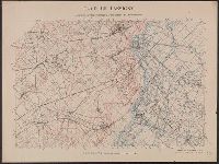
1. Camp de Lassigny, Anciennes Organisations Francaises et Allemandes [cartographic material Creator: Geological Survey (U.S.) Published / Created: 1917?] Call Number: 38hc L337 1917 Container / Volume: BRBL_00173 Image Count: 1 Resource Type: Maps, Atlases & Globes Found in: Beinecke Rare Book and Manuscript Library > Camp de Lassigny, Anciennes Organisations Francaises et Allemandes [cartographic material] / Engraved and printed by the U.S. Geological Survey.
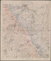
2. Camp de Lassigny, Anciennes Organisations Francaises et Allemandes [cartographic material]. Creator: Geological Survey (U.S.) Published / Created: 1916?] Call Number: 38hc L337 1916 Container / Volume: BRBL_00173 Image Count: 1 Resource Type: Maps, Atlases & Globes Found in: Beinecke Rare Book and Manuscript Library > Camp de Lassigny, Anciennes Organisations Francaises et Allemandes [cartographic material].
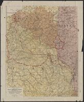
3. Carte des Frontières de l'Est : Théâtre de la Guerre 1914. Published / Created: 1914 Call Number: 11hc 1914S Image Count: 1 Resource Type: Maps, Atlases & Globes Found in: Beinecke Rare Book and Manuscript Library > Carte des Frontières de l'Est : Théâtre de la Guerre 1914.
4. Rand McNally war map of the battle ground of liberty : the western battlefields of Europe, a Creator: Rand McNally and Company Published / Created: [1917?]. Call Number: 11hc 1917J Container / Volume: BRBL_00010D Image Count: 2 Resource Type: Maps, Atlases & Globes Found in: Beinecke Rare Book and Manuscript Library > Rand McNally war map of the battle ground of liberty : the western battlefields of Europe, a strategic map of the battle ground in Belgium and France from London, England to the Swiss border showing the farthest advance of the German armies, September 191