
Search


Limit your search
- Public59
- Maps, Atlases & Globes✖[remove]59
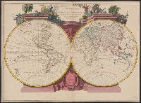
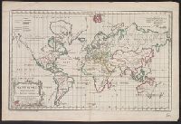
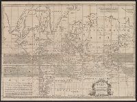
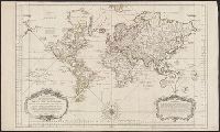
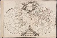
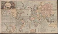
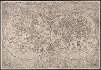
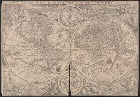
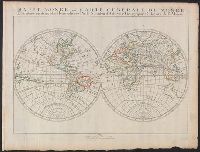
- World maps--Early works to 1800✖[remove]59
- Roads, Roman--Maps--Early works to 18002
- Cartographers--France--18th century1
- Early maps1
- Early maps--Facsimiles1
- Longitude--Measurement--Maps--Early works to 18001
- Nautical charts.1
- Navigation1
- Religion--Maps--Early works to 18001
- Religions--Maps--Early works to 18001
- Bowles, John, 1701-1779, bookseller2
- Burghers, M2
- Doetecam, Jan van, engraver2
- Wells, Edward, 1667-1727. New sett of maps both of antient and present geography2
- American Geographical Society of New York1
- Arnold, Robert M.--Ownership1
- Bassett, Thomas, bookseller, bookseller1
- Benton, Andrew Arthur--Ownership1
- Berchem, Nicolaas Pietersz, 1620-1683.1
- Bonne, Rigobert, 1727-1794. Atlas de toutes les parties connues du globe terrestre ..1