Atlas geographique et physique des regions equinoxiales du nouveau continent, fonde sur des
Image Count:
1
Resource Type:
Maps, Atlases & Globes
Description:
At foot: Redige et dessine d'apres des esquisses de Mr de Humboldt par J.B. Poirson 1813. / Grave par P.A.F. Tardieu, Place de l'Estrapade No 34. and Scale included
Subject (Geographic):
Orinoco River (Venezuela and Colombia) and South America
Subject (Topic):
Discoveries in geography, Explorers, Scientific expeditions, and Voyages and travels
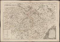
French and German., Relief shown by contours, gradient tints, and spot heights. Contours at 20 meter intervals., Sheets 2-6 wanting., and Shows hiking trails and paths.
Publisher:
Institut géographique Kümmerly & Frey,
Subject (Geographic):
Jura Mountains (France and Switzerland)--Maps
Subject (Name):
Kümmerly + Frey
Subject (Topic):
Hiking--Jura Mountains (France and Switzerland)--Maps and Trails--Jura Mountains (France and Switzerland)--Maps
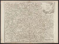
At bottom: Voyages in 12, Tome 74, Page 235. Tome 17, in 8⁰, Page 340., From A.F. Prévost's Histoire générale des voyages. Paris: Didot ..., 1746-1789., Ms. no., in green, on verso: 31. Sheet measures 55.5 x 36 cm. Cross Collection no. 105., and Relief shown pictorially.
Publisher:
s.n.,
Subject (Geographic):
Kamchatka Peninsula (Russia)--Maps--Early works to 1800
Subject (Name):
Prévost, abbé, 1697-1763. Histoire générale des voyages
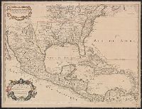
[American maps ; v. 1, no. 8] and Library of Congress. American maps ; v. 1, no. 8.
Description:
Imprint date from R.V. Tooley's French mapping of the Americas, item 50., Prime meridian: Ferro., Relief shown pictorially., and Yale's copy stamped on verso: Yale University Library, Karpinski-Von Wieser Map Collection.