Search
You Searched For
Search Results
- Published / Created:
- ca. 1750]
- Call Number:
- 85 1740C
- Container / Volume:
- BRBL_00693
- Image Count:
- 1
- Resource Type:
- Maps, Atlases & Globes
- Found in:
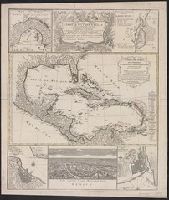
- Beinecke Rare Book and Manuscript Library > Mappa geographica, complectens : I. Indiae Occidentalis partem mediam circum Isthmum Panamensem, II. Ipsumq[ue] Isthmum, III. Ichnographiam praecipuorum locorum & portuum ad has terras pertinentium. Desumta omnia ex historia Insulae S. Dominici & pro prae
- Creator:
- Arrowsmith, John, 1790-1873
- Published / Created:
- 1832
- Call Number:
- 1978 Folio 106
- Collection Title:
- Maps of the Orinoco-Essequibo region, South America. Compiled for the Commission appointed by the
- Image Count:
- 1
- Resource Type:
- Maps, Atlases & Globes
- Found in:
- Beinecke Rare Book and Manuscript Library > Part of a map of Colombia by J. Arrowsmith, London, 1832
- Creator:
- Speer, Joseph Smith
- Published / Created:
- May 20th, 1774.
- Call Number:
- 85 1774A
- Container / Volume:
- BRBL_00637
- Image Count:
- 1
- Resource Type:
- Maps, Atlases & Globes
- Found in:
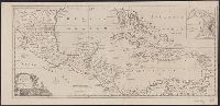
- Beinecke Rare Book and Manuscript Library > To His Royal Highness. George Augustus Frederick. Prince of Wales &c. &c. &c. this chart of the West Indies is humbly inscribed by His Royal Highness faithful & obedient servant Joseph Smith Speer, Thos. Bowen sculpt.
- Published / Created:
- 1780]
- Call Number:
- 85 1740
- Container / Volume:
- BRBL_00693
- Image Count:
- 1
- Resource Type:
- Maps, Atlases & Globes
- Found in:
- Beinecke Rare Book and Manuscript Library > West Indies [cartographic material] : with the harbour & fort of Omoa from the best authorities.