Skip to search
Skip to main content
Skip to first result
Search
You Searched For
Subject (Geographic)
China--Maps--Early works to 1800
New Search
Search Results
Creator:
Published / Created:
Jany. 1st, 1795.
Call Number:
1977 Folio 177
Image Count:
2
Resource Type:
Maps, Atlases & Globes
Found in:
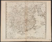
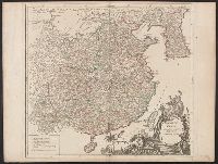
Beinecke Rare Book and Manuscript Library > A map of China : with the surrounding states, correctly copied from Monsr. d'Anville : engraved for Monsr. de Paun's Philosophical dissertations on the Egyptians & Chinese.
Published / Created:
1811
Call Number:
56 1811A
Container / Volume:
BRBL_00295
Image Count:
1
Resource Type:
Maps, Atlases & Globes
Found in:
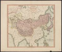
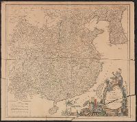
Beinecke Rare Book and Manuscript Library > A new map of Chinese & Independent Tartary ... By John Cary, Engraver.
Published / Created:
[1795?]
Call Number:
56 1795A
Container / Volume:
BRBL_00295
Image Count:
1
Resource Type:
Maps, Atlases & Globes
Found in:
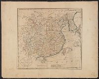
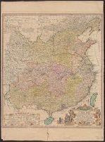
Beinecke Rare Book and Manuscript Library > China divided into it's Great Provinces ... Tanner.
Published / Created:
1774
Call Number:
56 1774
Container / Volume:
BRBL_00295
Image Count:
1
Resource Type:
Maps, Atlases & Globes
Found in:
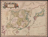
Beinecke Rare Book and Manuscript Library > China divided into its great provinces and the Isles of Japan by Samuel Dunn.
Creator:
Call Number:
56 1636
Container / Volume:
BRBL_00294
Image Count:
2
Resource Type:
Maps, Atlases & Globes
Found in:
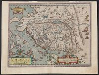
Beinecke Rare Book and Manuscript Library > China veteribus Sinarum Regio nunc incolis Tame dicta.
Published / Created:
1796]
Call Number:
56 1796
Container / Volume:
BRBL_00295
Image Count:
1
Resource Type:
Maps, Atlases & Globes
Found in:
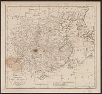
Beinecke Rare Book and Manuscript Library > China, divided into its Great Provinces According to the best Authorities. B. Tanner Sc. N. York.
Published / Created:
1795]
Call Number:
56 1795
Container / Volume:
BRBL_00295
Image Count:
1
Resource Type:
Maps, Atlases & Globes
Found in:
Beinecke Rare Book and Manuscript Library > China, divided into its Great Provinces according to the best Authorities.
Creator:
Call Number:
56 1588
Container / Volume:
BRBL_00294
Image Count:
2
Resource Type:
Maps, Atlases & Globes
Found in:
Beinecke Rare Book and Manuscript Library > Chinae, olim sinarum regions, noua descriptio : auctore Ludouico Georgio.
Creator:
Published / Created:
1655]
Call Number:
56 1655
Container / Volume:
BRBL_00294
Image Count:
1
Resource Type:
Maps, Atlases & Globes
Found in:
Beinecke Rare Book and Manuscript Library > Imperii Sinarum nova descriptio.
Published / Created:
1673]
Call Number:
56 1644
Container / Volume:
BRBL_00294
Image Count:
1
Resource Type:
Maps, Atlases & Globes
Found in:
Beinecke Rare Book and Manuscript Library > Jing ban tian wen quan tu.
Published / Created:
[1751?]
Call Number:
56 1751
Container / Volume:
BRBL_00294
Image Count:
1
Resource Type:
Maps, Atlases & Globes
Found in:
Beinecke Rare Book and Manuscript Library > L'Empire de la Chine ... Par le Sr. Robert de Vaugondy.
Published / Created:
1751
Call Number:
56 1751A
Container / Volume:
BRBL_00294
Image Count:
1
Resource Type:
Maps, Atlases & Globes
Found in:
Beinecke Rare Book and Manuscript Library > L'Empire de la Chine dresse d'apres les Cartes de l'Atlas Chinois. Par le Sr. Robert de Vaugondy. Geographe ordinaire du Roi. Avec Privilege.
Creator:
Published / Created:
1656
Call Number:
56 1656
Container / Volume:
BRBL_00294
Image Count:
1
Resource Type:
Maps, Atlases & Globes
Found in:
Beinecke Rare Book and Manuscript Library > La Chine royaume [cartographic material] : cette carte n'est quin abregé d'une autre tres belle, fort grande, et fort particuliere ... / par N. Sanson ; Johannes Somer Pruthenus sculpsit.
Published / Created:
[1750?]
Call Number:
56 1750
Container / Volume:
BRBL_00294
Image Count:
1
Resource Type:
Maps, Atlases & Globes
Found in:
Beinecke Rare Book and Manuscript Library > Regni Sin ae Vel Sinae Propriae ... R.P. du Halde et ab Anvillaeo Call: Reg: Geographo ... studio Joh: Math: Hasü, Math: P:P. ...
Creator:
Call Number:
54 1684
Container / Volume:
BRBL_00290
Image Count:
1
Resource Type:
Maps, Atlases & Globes
Found in:
Beinecke Rare Book and Manuscript Library > Tabula Tartariae et majoris partis regni Chinae / edita a F. de Wit ; Lhuilier fecit.
Creator:
Published / Created:
1676?]
Call Number:
56 1626
Container / Volume:
BRBL_00734
Image Count:
2
Resource Type:
Maps, Atlases & Globes
Found in:
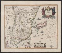
Beinecke Rare Book and Manuscript Library > The kingdome of China / newly augmented by I.S. 1626.
Published / Created:
[ca. 1625]
Call Number:
Pequot +P978
Collection Title:
Purchas his pilgrimes : In fiue bookes. The first, contayning the voyages and peregrinations made
Image Count:
1
Found in:
Beinecke Rare Book and Manuscript Library > The map of China
Branch:v1.60.98 ,Deployed:2024-04-17T09:54:29-04:00