Search
You Searched For
Search Results
- Published / Created:
- 1837
- Call Number:
- 773 1837
- Container / Volume:
- BRBL_00495
- Image Count:
- 1
- Resource Type:
- Maps, Atlases & Globes
- Found in:
- Beinecke Rare Book and Manuscript Library > New Jersey.
- Published / Created:
- 1892
- Call Number:
- 773 ES75 1892
- Container / Volume:
- BRBL_00496
- Image Count:
- 1
- Resource Type:
- Maps, Atlases & Globes
- Found in:
- Beinecke Rare Book and Manuscript Library > Colton's Road Map of Union and Essex Counties, New Jersey.
- Published / Created:
- 1804
- Call Number:
- 773 J487 1804
- Container / Volume:
- BRBL_00496
- Image Count:
- 1
- Resource Type:
- Maps, Atlases & Globes
- Found in:
- Beinecke Rare Book and Manuscript Library > A map of that part of the town of Jersey, commonly called Powles Hook / surveyed by Joseph F. Mangin.
- Published / Created:
- ca 1810]
- Call Number:
- 773 J487 1810
- Container / Volume:
- BRBL_00496
- Image Count:
- 1
- Resource Type:
- Maps, Atlases & Globes
- Found in:
- Beinecke Rare Book and Manuscript Library > A map of that part of the town of Jersey, commonly called Aharsimus.
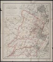
- Creator:
- Society for the Diffusion of Useful Knowledge (Great Britain)
- Published / Created:
- 1832
- Call Number:
- 755 1832A
- Container / Volume:
- BRBL_00440
- Image Count:
- 1
- Resource Type:
- Maps, Atlases & Globes
- Found in:
- Beinecke Rare Book and Manuscript Library > North America. Sheet VI, New-York, Vermont, Maine, New-Hampshire, Massachusetts, Connecticut, Rhode-Island, and New-Jersey / published by the Society for the Diffusion of Useful Knowledge.
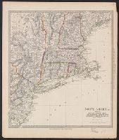
- Creator:
- Tanner, Henry Schenck, 1786-1858
- Published / Created:
- [1823]
- Call Number:
- 774 1823
- Container / Volume:
- BRBL_00498
- Image Count:
- 1
- Resource Type:
- Maps, Atlases & Globes
- Found in:
- Beinecke Rare Book and Manuscript Library > Map of Pennsylvania and New Jersey / by H.S. Tanner ; engraved by H.S. Tanner & assistants.
- Published / Created:
- 1892
- Call Number:
- 773 OR1 1892
- Container / Volume:
- BRBL_00497
- Image Count:
- 1
- Resource Type:
- Maps, Atlases & Globes
- Found in:
- Beinecke Rare Book and Manuscript Library > Map of the Oranges, Bloomfield, Montclair, and Environs, New Jersey.
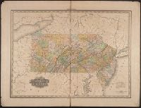
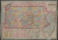
- Published / Created:
- 1857
- Call Number:
- 774 1857
- Container / Volume:
- BRBL_00498
- Image Count:
- 1
- Resource Type:
- Maps, Atlases & Globes
- Found in:
- Beinecke Rare Book and Manuscript Library > A new county map of Pennsylvania and adjoining states showing the route of the rail roads, &c.
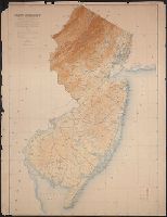
- Creator:
- Geological Survey of New Jersey
- Published / Created:
- 1888
- Call Number:
- 773CBF 1888
- Container / Volume:
- BRBL_00497
- Image Count:
- 1
- Resource Type:
- Maps, Atlases & Globes
- Found in:
- Beinecke Rare Book and Manuscript Library > The State of New Jersey : relief map : from original surveys based on the triangulation of the U.S. Coast and Geodetic Survey.
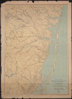
- Published / Created:
- 1888 .
- Call Number:
- 773CBF B26 1888
- Container / Volume:
- BRBL_00497
- Image Count:
- 1
- Resource Type:
- Maps, Atlases & Globes
- Found in:
- Beinecke Rare Book and Manuscript Library > A topographical map of the vicinity of Barnegat Bay : with the greater part of Ocean County.