- Creator:
- California State Automobile Association
- Published / Created:
- [1951?]
- Call Number:
- 844 Y83 1956
- Container / Volume:
- BRBL_00611
- Image Count:
- 2
- Resource Type:
- Maps, Atlases & Globes
- Description:
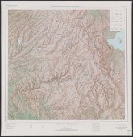
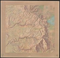
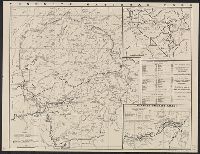
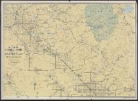
- "Form M-111" and "156" on panel., Map of "Yosemite Valley" (scale [ca. 1:50,000]), distance tables, and text on verso., and Relief shown by spot heights.
- Publisher:
- California State Automobile Association,
- Subject (Geographic):
- San Joaquin Valley (Calif.)--Maps and Yosemite National Park (Calif.)--Maps
- Found in:
- Beinecke Rare Book and Manuscript Library > Yosemite National Park and part of San Joaquin Valley.