Search
You Searched For
Search Results
- Creator:
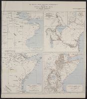
- Garstin, William, Sir, 1849-1925
- Published / Created:
- 1909
- Call Number:
- 60bh 1909
- Container / Volume:
- BRBL_00329
- Image Count:
- 1
- Resource Type:
- Maps, Atlases & Globes
- Found in:
- Beinecke Rare Book and Manuscript Library > The jubilee of Speke's discovery of Victoria Nyanza : maps of Eastern Equatorial Africa showing the progress of exploration / to illustrate a paper by William E. Garstin.
- Creator:
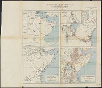
- Garstin, William, Sir, 1849-1925
- Published / Created:
- 1909
- Call Number:
- 63bh 1909
- Container / Volume:
- BRBL_00335
- Image Count:
- 1
- Resource Type:
- Maps, Atlases & Globes
- Found in:
- Beinecke Rare Book and Manuscript Library > The jubilee of Speke's discovery of Victoria Nyanza : maps of Eastern Equatorial Africa showing the progress of exploration / to illustrate a paper by William E. Garstin.
- Creator:
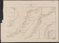
- Canning, Alfred Wernam, 1860-1936
- Published / Created:
- 1911
- Call Number:
- 2651 W713 1911
- Container / Volume:
- BRBL_00023
- Image Count:
- 1
- Resource Type:
- Maps, Atlases & Globes
- Found in:
- Beinecke Rare Book and Manuscript Library > The Wiluna-Kimberley stock route [cartographic material] / by A.W. Canning.
- Published / Created:
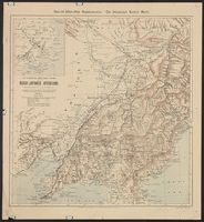
- 1904
- Call Number:
- 565 1904
- Container / Volume:
- BRBL_00299
- Image Count:
- 1
- Resource Type:
- Maps, Atlases & Globes
- Found in:
- Beinecke Rare Book and Manuscript Library > The Illustrated London news war-map of the Russo-Japanese operations in Manchuria and Korea / compiled from observations of R.T. Turley F.R.G.S, the latest Admiralty charts & Russian maps 1904.
- Published / Created:
- 1910
- Call Number:
- 533ex 1910
- Container / Volume:
- BRBL_00288
- Image Count:
- 1
- Resource Type:
- Maps, Atlases & Globes
- Found in:
- Beinecke Rare Book and Manuscript Library > The Euphrates from Jerablus to Hit [cartographic material] : showing the route of Miss Gertrude Lowthian Bell along the eastern bank.
- Published / Created:
- 1910
- Call Number:
- 649 1910
- Container / Volume:
- BRBL_00340
- Image Count:
- 1
- Resource Type:
- Maps, Atlases & Globes
- Found in:
- Beinecke Rare Book and Manuscript Library > South West Africa [cartographic material] : to illustrate a paper by Prof. H.H.W. Pearson.
- Published / Created:
- [1910]
- Call Number:
- 97 1910A
- Container / Volume:
- BRBL_00678
- Image Count:
- 1
- Resource Type:
- Maps, Atlases & Globes
- Found in:
- Beinecke Rare Book and Manuscript Library > South Peru and north Bolivia [cartographic material] : including the rubber yielding montaña.
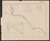
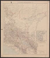
- Published / Created:
- [1910]
- Call Number:
- 97 1910
- Container / Volume:
- BRBL_00678
- Image Count:
- 1
- Resource Type:
- Maps, Atlases & Globes
- Found in:
- Beinecke Rare Book and Manuscript Library > South Peru and north Bolivia [cartographic material] : including the rubber yielding montaña.
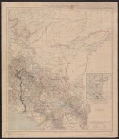
- Published / Created:
- [1910]
- Call Number:
- 97 1910
- Container / Volume:
- BRBL_00678
- Image Count:
- 1
- Resource Type:
- Maps, Atlases & Globes
- Found in:
- Beinecke Rare Book and Manuscript Library > South Peru and north Bolivia [cartographic material] : including the rubber yielding montaña.