Skip to search
Skip to main content
Skip to first result
Search
You Searched For
"Africa--Maps--Early works to 1800"
New Search
Search Results
Creator:
Published / Created:
1637
Call Number:
314 1637
Container / Volume:
BRBL_00038
Image Count:
1
Resource Type:
Maps, Atlases & Globes
Subject (Geographic):
Africa , North--Maps --Early works to
Found in:
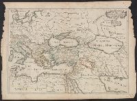
Beinecke Rare Book and Manuscript Library > Romani Imperii qua oriens est descriptio geographica / auct. N. Sanson ...
Creator:
Call Number:
501 1708
Container / Volume:
BRBL_00275
Image Count:
1
Resource Type:
Maps, Atlases & Globes
Subject (Geographic):
Africa , North--Maps --Early works to
Found in:
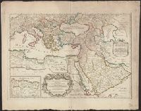
Beinecke Rare Book and Manuscript Library > Estats de l'Empire du grand Seigneur des Turcs en Europe, en Asie et en Afrique : divise en tous ses Beglerbeglicz ou Gouvernements ou sont aussi remarques les Estats qui luy sont Tributaires dresse sur les plus nouvelles relations / par le Sr. Sanson ...
Creator:
Published / Created:
[ca. 1689?]
Call Number:
1973 Folio 10
Image Count:
1
Resource Type:
Maps, Atlases & Globes
Subject (Geographic):
Africa , North --Maps --Early works to
Found in:
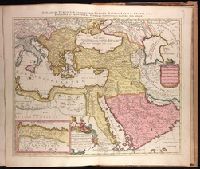
Beinecke Rare Book and Manuscript Library > The empire of the great Turke [sic] in Europe, Asia, [and] Africa : divided into all its Beglerbeglicz or governments in which are also distinguished the states that are tributary to him
Creator:
Published / Created:
ca. 1702?]
Call Number:
1973 Folio 18
Image Count:
1
Resource Type:
Maps, Atlases & Globes
Subject (Geographic):
Africa , North--Maps --Early works to
Found in:
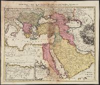
Beinecke Rare Book and Manuscript Library > [Est]ats de L'Empire du Grand Seigneur des Turcs Europe, en Asie, et en Afrique [cartographic material] : divise en tous ses Beglerbeglicz ou Gouvernements ou sont aussi remarques les Estats qui luy sont Tributaires dresse sur les plus nouvelles relations / par le Sr. Sanson ...
Creator:
Published / Created:
1700?]
Call Number:
501 1700
Container / Volume:
BRBL_00275
Image Count:
1
Resource Type:
Maps, Atlases & Globes
Subject (Geographic):
Africa , North--Maps --Early works to
Found in:
Beinecke Rare Book and Manuscript Library > [Est]ats de L'Empire du Grand Seigneur des Turcs en Europe, en Asie, et en Afrique : divise en touts ses beglerbeglicz ou gouvernements ou sont aussi remarques les Estats qui luy sont Tributaires dresse sur les plus nouvelles relations / par le Sr. Sanson
Call Number:
1974 Folio 72
Collection Title:
The English pilot: describing the West-India navigation, from Hudson's-Bay to the river Amazones
Image Count:
1
Subject (Geographic):
Africa --Maps --Early works to 1800
Found in:
Beinecke Rare Book and Manuscript Library > A new generall chart for the West Indies
Call Number:
1978 Folio 10
Collection Title:
The English pilot: describing the West-India navigation, from Hudson's-Bay to the river Amazones
Image Count:
1
Subject (Geographic):
Africa --Maps --Early works to 1800
Found in:
Beinecke Rare Book and Manuscript Library > A new generall chart for the West Indies
Call Number:
1973 Folio 116
Collection Title:
The English pilot: describing the West-India navigation, from Hudson's-Bay to the river Amazones
Image Count:
1
Subject (Geographic):
Africa --Maps --Early works to 1800
Found in:
Beinecke Rare Book and Manuscript Library > A new generall chart for the West Indies
Call Number:
1973 Folio 114
Collection Title:
The English pilot: describing the West-India navigation, from Hudson's-Bay to the river Amazones
Image Count:
2
Resource Type:
Maps, Atlases & Globes
Subject (Geographic):
Africa --Maps --Early works to 1800
Found in:
Beinecke Rare Book and Manuscript Library > A new generall chart for the West Indies
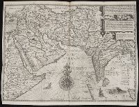
Creator:
Published / Created:
[1596]
Call Number:
Z3 017
Collection Title:
... Iohn Hvighen van Linschoten. his Discours of Voyages into ye Easte & West Indies. Deuided into
Image Count:
1
Subject (Geographic):
Africa --Maps --Early works to 1800
Found in:
Beinecke Rare Book and Manuscript Library > Deliniantur in hac tabula, Orae maritimae Abexiae, freti Mecani. al. Maris Rubri. Arabiae Freti Mecani. al Maris Rubri ...
Branch:v1.60.98 ,Deployed:2024-04-24T10:14:37-04:00