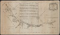
Coastal chart., Imperfect: Mutilated with loss of information., Includes text: "Instructions for the coast of South Carolina, Georgia, and the coast of St. Augustin"., and Oriented with north to the left.
Publisher:
W. Mount and T. Page,
Subject (Geographic):
Georgia--Maps--Early works to 1800.
Subject (Topic):
Coastwise navigation--Atlantic Coast (South Atlantic States)
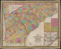
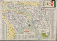
Mitchell's map of the Carolina's [i.e. Carolinas] & Georgia
Description:
"Entered according to Act of Congress in the year 1835 by S. Augustus Mitchell in the clerks office of the eastern district of Pennsylvania.", Decorative border., Includes steam boat routes and principal stage routes., and Inset: Vicinity of Charleston. Scale [c
Publisher:
Published by S. Augustus Mitchell, sold by Mitchell & Hinman, No. 6 North Fifth Street,
Subject (Geographic):
Georgia--Maps.
Subject (Name):
Mitchell & Hinman and Mitchell, S. Augustus (Samuel Augustus), 1792-1868
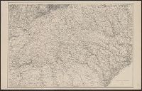
Also covers Azerbaydzhan, southern Georgia, and northeastern Turkey., Imperfect: Mutilated with loss of text., In right lower margin: Stanford's Geographical Establishment., and Relief shown by shading and spot heights.
Publisher:
Longmans & Co.,
Subject (Geographic):
Georgia (Republic)--Maps
Subject (Name):
Edward Stanford Ltd, Longman (Firm), Oswald, Felix, 1866-1958, and Shawe, W
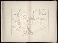
The West-India pilot: containing piloting directions for Port Royal and Kingston harbours in
Image Count:
1
Subject (Geographic):
Georgia --Maps --Early works to 1800
Subject (Topic):
Harbors --Atlantic Coast (North America) --Maps --Early works to 1800, Nautical charts --Atlantic Coast (North America) --Early works to 1800, Nautical charts --Caribbean Area --Early works to 1800, Nautical charts --West Indies --Early works to 1800, Pilot guides --Atlantic Coast (North America) --Early works to 1800, Pilot guides --Caribbean Area --Early works to 1800, and Pilot guides --West Indies --Early works to 1800
Collection Created:
London : Printed for the author and sold by S. Hooper ..., MDCCLXXI [1771]