


- None3
Search
Limit your search
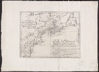
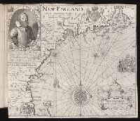
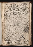
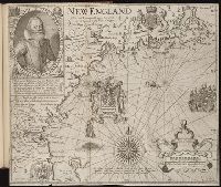
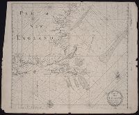
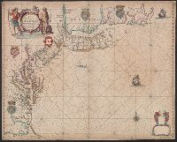
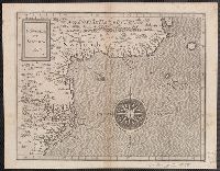
- Navigation --Early works to 1800133
- Pilot guides --Atlantic Coast (U.S.) --Early works to 1800133
- Pilot guides --Caribbean Area --Early works to 1800133
- Clergy--New England.17
- Congregational churches--New England--Clergy.17
- Theology, Doctrinal--United States--History--18th century.17
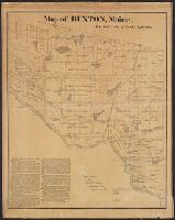
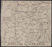
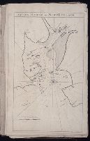
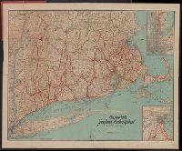
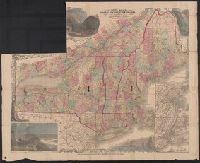
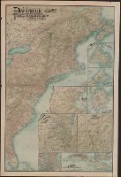
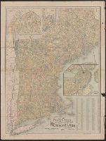
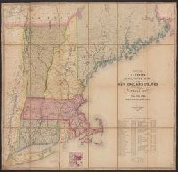
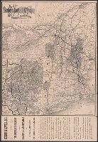
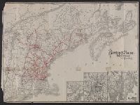
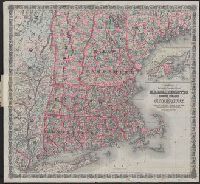
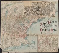
- Railroads--New England--Maps14
- Voyages and travels9
- Discoveries in geography.7
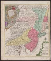
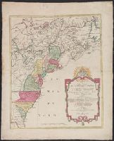
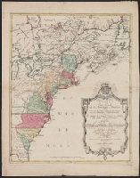
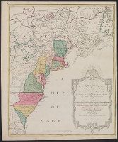
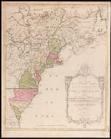
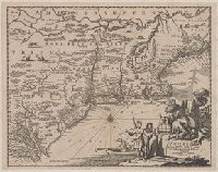
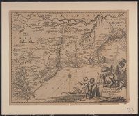
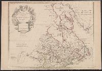
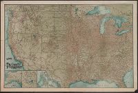
- British--America--Maps--Early works to 18006
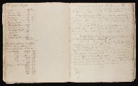
- Edwards family17
- Ryland, John.17
- Chatelain, Henri Abraham. Atlas historique6
- Anville, Jean Baptiste Bourguignon d', 1697-17825
- Bate, H5
- Chalmers, Alexander5
- Homann Erben (Firm). Atlas geographicus maior5
- Robert Laurie and James Whittle5
- Robert Laurie and James Whittle. New and elegant imperial sheet atlas5
- Colton, J. H. (Joseph Hutchins), 1800-18934