Search
You Searched For
Search Results
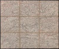
- Creator:
- Woerl, Joseph Edmund
- Call Number:
- 42 1830
- Container / Volume:
- BRBL_00244
- Image Count:
- 1
- Resource Type:
- Maps, Atlases & Globes
- Subject (Geographic):
- Carinthia (Austria)--Maps
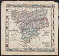
- Found in:
- Beinecke Rare Book and Manuscript Library > Salzburg.
- Call Number:
- 4035 1846
- Container / Volume:
- BRBL_00234
- Image Count:
- 1
- Resource Type:
- Maps, Atlases & Globes
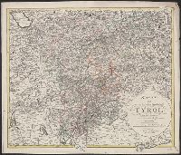
- Subject (Geographic):
- Tyrol (Austria)--Maps
- Found in:
- Beinecke Rare Book and Manuscript Library > Contea principesca del Tirolo e Vorarlberg / Gio. Battista Bordiga inc.
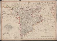
- Call Number:
- 4035 1805
- Container / Volume:
- BRBL_00234
- Image Count:
- 1
- Resource Type:
- Maps, Atlases & Globes
- Subject (Geographic):
- Tyrol (Austria)--Maps
- Found in:
- Beinecke Rare Book and Manuscript Library > Karte von Tyrol und Vorarlberg / F. Reisser sculp.
- Creator:
- Herder, Bartholomä, 1774-1839, lithographer
Woerl, Joseph Edmund
Woerl, Joseph Edmund. Atlas von Central-Europa
- Call Number:
- 30 1840B
- Container / Volume:
- BRBL_00031
- Image Count:
- 1
- Resource Type:
- Maps, Atlases & Globes
- Subject (Geographic):
- Tyrol (Austria)--Maps
- Found in:
- Beinecke Rare Book and Manuscript Library > Constanz.
- Creator:
- Woerl, Joseph Edmund
- Call Number:
- 41 1830
- Container / Volume:
- BRBL_00241
- Image Count:
- 1
- Resource Type:
- Maps, Atlases & Globes
- Subject (Geographic):
- Styria (Austria)--Maps
- Found in:
- Beinecke Rare Book and Manuscript Library > Grätz.
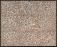
- Call Number:
- 4035 1830
- Container / Volume:
- BRBL_00234
- Image Count:
- 1
- Resource Type:
- Maps, Atlases & Globes
- Subject (Geographic):
- Tyrol (Austria)--Maps
- Found in:
- Beinecke Rare Book and Manuscript Library > Karte von der gefürsteten Grafschaft Tyrol : nach der neuesten und bewaehrtesten Hülfsmitteln entworfen.
- Published / Created:
- Undated
- Call Number:
- 1976 1233
- Collection Title:
- Twenty four new and accurate maps of the several parts of Europe ... : all (except the last) new
- Image Count:
- 1
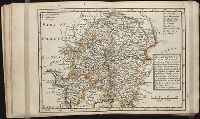
- Subject (Geographic):
- Austria --Maps --Early works to 1800
- Found in:
- Beinecke Rare Book and Manuscript Library > The south east part of Germany containing ye dominions of ye dutchy & elec. of Bavaria, the dutchy of Newburg, archbishop: of Saltzburg, and ye estates of Austria, viz Bohemia, Moravia, Austria, Styria, Carinthia, Carniola, the bishopricks of Brixen, Tren
- Creator:
- Delarochette, L. (Louis), 1731-1802
Kitchin, Thomas, 1718-1784. New universal atlas. 1804
Laurie & Whittle
- Call Number:
- 36 1794B
- Container / Volume:
- BRBL_00119
- Image Count:
- 2
- Resource Type:
- Maps, Atlases & Globes
- Subject (Geographic):
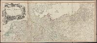
- Austria--Maps--Early works to 1800
- Found in:
- Beinecke Rare Book and Manuscript Library > Map of the Empire of Germany : including all the states comprehended under that name: with the Kingdom of Prussia, &c. / by L. Delarochette ; T. Kitchin sculpt.
- Published / Created:
- Undated
- Call Number:
- 1983 Folio 19
- Collection Title:
- [Atlas factice of 96 maps by Blaeu, Visscher, Jansson, Hondius and others]
- Image Count:
- 2
- Subject (Geographic):
- Austria --Maps --Early works to 1800
- Found in:
- Beinecke Rare Book and Manuscript Library > Bohemia