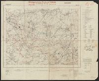
Egypt. Maṣlaḥat al-Misāḥah, cartographer, issuing body
Published / Created:
1909-
Call Number:
61 1909
Container / Volume:
BRBL_00764
Image Count:
6
Resource Type:
Maps, Atlases & Globes
Description:
Cultivated land shown in color., DLC, Relief shown by form lines and spot heights., Sheet 1. Alexandria -- Sheet 2. Cairo -- Sheet 3. Western Oases -- Sheet 4. Eatern Desert -- Sheet 5., Some LC copies mounted on cloth backing., and Various issues of some sheets.
Geographical Surveys West of the 100th Meridian (U.S.)
Published / Created:
1879
Call Number:
834 1879B
Container / Volume:
BRBL_00587
Image Count:
1
Resource Type:
Maps, Atlases & Globes
Description:
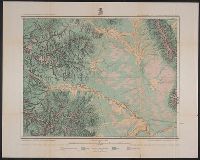
"By Order of the Honorable The Secretary of War. Under the, "Expeditions of 1873, '74, '75 & '76 under the command of 1st. Lieut. Geo. M. Wheeler, Corps of Engineers, U.S. Army.", On verso: 4., and Shows geographical features, roads, settlements, and distances.
Publisher:
U.S. Geographical Surveys West of the 100th Meridian,
Subject (Geographic):
Colorado--Surveys--Maps
Subject (Name):
United States. Army. Corps of Engineers, Weyss, Lang & Herman, Del, Wheeler, George M. (George Montague), 1842-1905, and Wright, Horatio Gouverneur, 1820-1899
Subject (Topic):
Land capability for agriculture--Colorado--Maps and Land use--Colorado--Maps
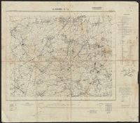
"Surveyed in 1911.", Includes "Index to shafts" listed alphabetically and by number on map., Map showing responsibility for topography in lower margin., and Relief shown by contours and spot heights.
Publisher:
The Survey,
Subject (Geographic):
Leadville (Colo.)--Maps
Subject (Name):
Davis, E. P., Marshall, R. B. (Robert Bradford), 1867-1949., Robertson, R. B., Semper, C. H., Tatum, Sledge., and Taylor, S. E.
Subject (Topic):
Mines and mineral resources--Colorado--Leadville--Maps.
Altitudes given in feet., Contours at 200 feet vertical intervals., Copy 2: Includes sheets 1, 2A, 3, 4A, 6A, 7A, 9A (two copies), 10-11, and 12A, with various corrections between 1928 and 1930., and Diagram showing adjoining sheets in margins.