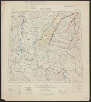
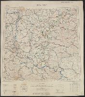
Ordnance Survey of Great Britain and Ireland Royal Geographical Society (Great Britain). Geographical Section
Published / Created:
1915
Call Number:
11hcf 1919E-19
Container / Volume:
BRBL_00010Z
Image Count:
1
Resource Type:
Maps, Atlases & Globes
Alternative Title:
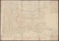
Europe 1:1,000,000, G.S.G.S. ; no. 2758, and GSGS (Series) ; no. 2758.
Description:
Copy 3: Ms. legend corresponding to col. ms. notes on map. On sheet 63 x 52 cm. Inscription: Charles Seymour. and Includes index to adjoining sheets, index to boundaries, and pronunciation glossary.
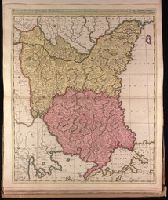
Appeared in Valk and Schenk's Atlantis sylloge compendiosa, ca. 1702., Backed with paper. Ms. no. "82" in upper left corner. Sheet measures 62.5 x 53.7 cm. No. 76 of 87 maps bound together., Bar scales given in "milliaria Hungarica" and "milliaria Germanica.", Prime meridian: Ferro., and Relief shown pictorially.
Publisher:
Gerard Valk,
Subject (Geographic):
Bulgaria--Maps--Early works to 1800., Romania--Maps--Early works to 1800., and Turkey--Maps--Early works to 1800.
Subject (Name):
Schenk, Peter, 1660-1718 or 1719. Atlantis sylloge compendiosa. and Valck, G. (Gerard), 1651 or 1652-1726. Atlantis sylloge compendiosa.
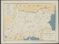
"Fonds dressé par le Service Géographique de L'Armée Britannique.", In lower right: S.G.A. le 9/9/19 ; SGA 196 197., and Legend in French, English, and Italian.