Search
You Searched For
Search Results
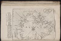
- Call Number:
- 1978 Folio 10
- Collection Title:
- The English pilot: describing the West-India navigation, from Hudson's-Bay to the river Amazones
- Image Count:
- 1
- Found in:
- Beinecke Rare Book and Manuscript Library > A large draft of the island Antegua
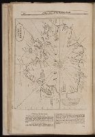
- Call Number:
- 1973 Folio 116
- Collection Title:
- The English pilot: describing the West-India navigation, from Hudson's-Bay to the river Amazones
- Image Count:
- 1
- Found in:
- Beinecke Rare Book and Manuscript Library > A large draft of the island Antegua
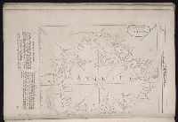
- Call Number:
- 1973 Folio 114
- Collection Title:
- The English pilot: describing the West-India navigation, from Hudson's-Bay to the river Amazones
- Image Count:
- 1
- Resource Type:
- Maps, Atlases & Globes
- Found in:
- Beinecke Rare Book and Manuscript Library > A large draft of the island Antegua
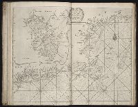
- Call Number:
- 1974 Folio 72
- Collection Title:
- The English pilot: describing the West-India navigation, from Hudson's-Bay to the river Amazones
- Image Count:
- 1
- Found in:
- Beinecke Rare Book and Manuscript Library > A large draft of the island of Antegua
- Call Number:
- 1978 Folio 10
- Collection Title:
- The English pilot: describing the West-India navigation, from Hudson's-Bay to the river Amazones
- Image Count:
- 1
- Found in:
- Beinecke Rare Book and Manuscript Library > A large draught of New England, New York, and Long Island
- Call Number:
- 1976 1233
- Collection Title:
- Forty-two new maps of Asia, Africa, and America ... : all engrav’d, according to the latest
- Image Count:
- 1
- Found in:
- Beinecke Rare Book and Manuscript Library > A map of America according to ye newest and most exact observations
- Published / Created:
- 1801
- Call Number:
- Zc90 801mab
- Collection Title:
- Voyages from Montreal, on the river St. Laurence, through the continent of North America, to the
- Image Count:
- 1
- Found in:
- Beinecke Rare Book and Manuscript Library > A map of America, between latitudes 40 and 70 north and longitudes 45 and 180 west, exhibiting Mackenzie's track from Montreal to Fort Chipewyan & from thence to the North Sea In 1789 & to the West Pacific Ocean in 1793
- Creator:
- Faden, William, 1749-1836
Rennell, James, 1742-1830, creator
- Published / Created:
- 1786 January 1
- Call Number:
- 1982 Folio 10
- Image Count:
- 1
- Found in:
- Beinecke Rare Book and Manuscript Library > A map of Bengal, Bahar, Oude & Allahabad with part of Agra and Delhi : exhibiting the course of the Ganges from Hurdwar to the sea
- Call Number:
- 1976 1233
- Collection Title:
- Forty-two new maps of Asia, Africa, and America ... : all engrav’d, according to the latest
- Image Count:
- 1
- Found in:
- Beinecke Rare Book and Manuscript Library > A map of Brasil and part of La Plata &c
- Published / Created:
- 1742
- Call Number:
- 1976 1232
- Collection Title:
- Chorographia Britanniæ, or, A set of maps of all the counties in England and Wales ... : to the
- Image Count:
- 1
- Found in:
- Beinecke Rare Book and Manuscript Library > A map of Cambridge Shire