
Search


Limit your search
- Public198
- cartographic198
- Maps, Atlases & Globes✖[remove]198
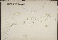
- Heart, Jonathan, 1748-17912
- Albernaz, João Teixeira, active 1665-16811
- Alzate y Ramírez, José Antonio de, 1737-17991
- Bersenev, Ivan Mikhaĭlovich, -17891
- Bruner, L. D.1
- Comberford, Nicholas, -1673, cartographer.1
- Conrad, Joseph, 1857-19241
- De Lacy, W. W. (Walter Washington), 1819-18921
- Denton, D. S., Jr., cartographer.1
- Giddings, Amelia1
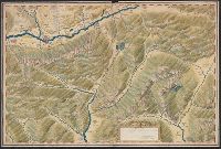
- Manuscript maps2
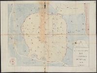
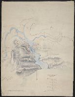
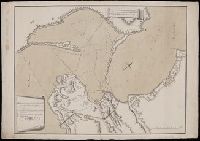
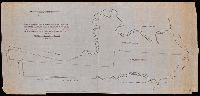
- Mines and mineral resources--Ontario--Thunder Bay Region--Maps.2
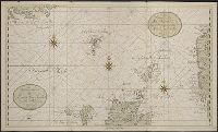
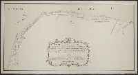
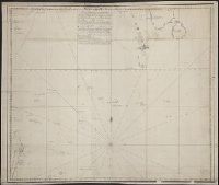
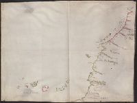
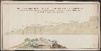
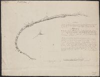
- Nautical charts--Mediterranean Sea--Early works to 1800.2
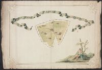
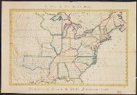
- Public lands--Georgia--Early works to 1800.2
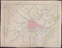
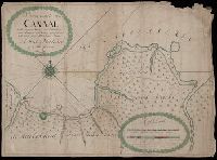
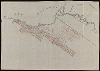
- Real property--Mississippi--Maps--Early works to 1800.2
- Real property--Ontario--Thunder Bay Region--Maps.2
- Yazoo Fraud, 1795--Maps--Early works to 1800.2
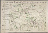
- Aisne, Battle of the, France, 1918--Maps1
- Boundaries--Balkan Peninsula--Maps1
- Boundaries--Balkan Peninsula--Russo-Turkish War, 1877-18781
- Rickard, Richard H.,---1885--Ownership.8
- Königliches Kartographisches Institut (Berlin) Stamp.3
- Ontario. Department of Crown Lands.2
- Pendleton, Nathaniel,--1756-18212
- Stiles, Ezra, 1727-17952
- Woodward, Sarah Day2
- Ben-Gurion, David,--1886-1973--Autograph.1
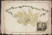
- Buckingham, D. W. Map of the city of New Haven.1
- Chappe d'Auteroche, abbé, 1728-17691
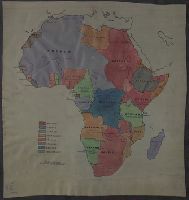
- Conrad, Joseph,--1857-1924--Travel--Congo (Democratic Republic)1