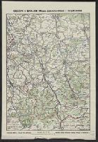
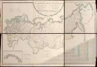
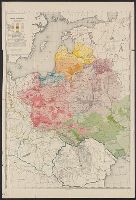
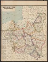
Pi︠a︡dyshev, Vasiliĭ Petrovich, 1768-1835. Пядышев, Василий Петрович, 1768-1835.
Published / Created:
1820-1827.
Call Number:
EEdb 828P
Image Count:
1
Resource Type:
Maps, Atlases & Globes
Alternative Title:
Atlas géographique de l'empire de Russie, du royaume de Pologne and du grand duché de Finlande and Географическій атлас Россійской Имперіи Царства Польскаго и Великаго Княжества Финляндскаго : расположенный по губерніям на 80 листах ... с генеральною картою ... / сочинен по новѣйшим и достовѣрным свѣденіям ... Пядышевым, начат 1820-го, окончен 1827-го года = Atlas géographique de l'empire de Russie, du royaume de Pologne et du grand duché de Finlande ; divisé en gouvernements ... ; avec une carte générale ... / composé ... par ... Pi︠a︡discheff ...
Description:
Captions and place names in Russian and Polish or in Russian and French., Relief shown by spot heights., and Some maps composed of two or more leaves hinged with cloth.
Publisher:
[publisher not identified],
Subject (Geographic):
Soviet Union.--(OCoLC)fst01210281 and Soviet Union--Maps.
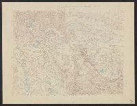
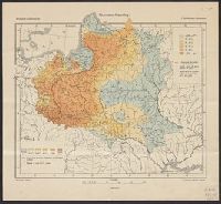
Guessefeld, F. L. (Franz Ludwig), 1744-1807 Homann Erben (Firm)
Published / Created:
1775
Call Number:
1983 Folio 23
Collection Title:
[Atlas factice of 50 maps, primarily by Johann Baptist Homann and/or issued by the Homann Erben
Image Count:
1
Publisher:
Impensis Homannianorum Haeredum
Subject (Geographic):
Bohemia (Czech Republic) --Maps --Early works to 1800, Galicia (Poland and Ukraine) --Maps --Early works to 1800, and Ukraine --Maps --Early works to 1800