Search
You Searched For
Search Results
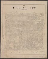
- Creator:
- Texas. General Land Office
- Published / Created:
- March 1898.
- Call Number:
- 796 Y68 1898
- Container / Volume:
- BRBL_00528
- Image Count:
- 1
- Resource Type:
- Maps, Atlases & Globes
- Found in:
- Beinecke Rare Book and Manuscript Library > Map of Young County / litg. Geo. D. Barnard & Co.
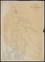
- Creator:
- Canada. Department of the Interior
- Published / Created:
- 1903
- Call Number:
- 741 1903
- Container / Volume:
- BRBL_00395
- Image Count:
- 1
- Resource Type:
- Maps, Atlases & Globes
- Found in:
- Beinecke Rare Book and Manuscript Library > Map of Yukon District [cartographic material] : with the adjacent northern part of British Columbia.
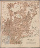
- Creator:
- Davies, Henry Rodolph, 1865-
- Published / Created:
- 1908
- Call Number:
- 5631 1908
- Container / Volume:
- BRBL_00299
- Image Count:
- 1
- Resource Type:
- Maps, Atlases & Globes
- Found in:
- Beinecke Rare Book and Manuscript Library > Map of Yün-nan / compiled by Major H.R. Davies.
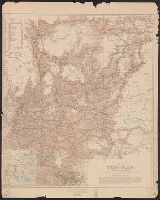
- Published / Created:
- 1762
- Call Number:
- 771fcm M726 1762
- Container / Volume:
- BRBL_00714
- Image Count:
- 2
- Resource Type:
- Maps, Atlases & Globes
- Found in:
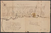
- Beinecke Rare Book and Manuscript Library > Map of a certain track of Land lying & being on the North Side of the Mohowk River ...
- Published / Created:
- 1863
- Call Number:
- 783hc 1863S
- Container / Volume:
- BRBL_00512
- Image Count:
- 3
- Resource Type:
- Maps, Atlases & Globes
- Found in:
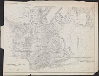
- Beinecke Rare Book and Manuscript Library > Map of a part of Eastern Virginia : including portions of Spotsylvania Co. and adjoining counties / compiled by Capt. W.H. Paine, A.D.C.
- Creator:
- United States. Surveyor General
- Published / Created:
- 1860
- Call Number:
- 847 1861
- Container / Volume:
- BRBL_00625
- Image Count:
- 1
- Resource Type:
- Maps, Atlases & Globes
- Found in:
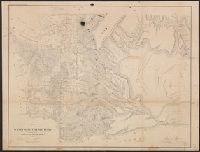
- Beinecke Rare Book and Manuscript Library > Map of a part of Washington Territory : to accompany the report of the Surveyor General, 1860-61.
- Creator:
- Washington (State). Surveyor General's Office
- Published / Created:
- 1859
- Call Number:
- 847 1859A
- Container / Volume:
- BRBL_00625
- Image Count:
- 1
- Resource Type:
- Maps, Atlases & Globes
- Found in:
- Beinecke Rare Book and Manuscript Library > Map of a part of Washington Territory : to accompany the report of the Surveyor General.
- Creator:
- Tilton, James
- Published / Created:
- 1857
- Call Number:
- 847 1857
- Container / Volume:
- BRBL_00625
- Image Count:
- 1
- Resource Type:
- Maps, Atlases & Globes
- Found in:
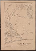
- Beinecke Rare Book and Manuscript Library > Map of a part of Washington Territory lying east of the Cascade Mountains : to accompany report of Surveyor General.
- Published / Created:
- 1862
- Call Number:
- 783 R182 1862
- Container / Volume:
- BRBL_00510
- Image Count:
- 1
- Resource Type:
- Maps, Atlases & Globes
- Found in:
- Beinecke Rare Book and Manuscript Library > Map of a part of the Rappahannock River : Above Fredericksburg and of the Rapid Ann River & the adjacent country / Compiled under the direction of Col. J.N. Macomb, A.D.C. Topl. Engr. by Capt. W.H. Paine.