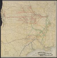
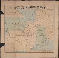
Sportsman's map of Canada and the Northwest Territory.
Description:
Date taken from Yale card catalog indicating map was originally in cover with date of issue, March 1901; also with a cover title, "The sportsman's map of Canada and the Northwest Territory." and Relief shown by hachures.
Publisher:
Poole Bros.,
Subject (Geographic):
Canada--Maps and United States--Maps
Subject (Name):
Canadian Pacific Railway Company, Canadian Pacific Railway Company--Maps, Duluth, South Shore, and Atlantic Railway Company, and Duluth, South Shore, and Atlantic Railway Company--Maps
Subject (Topic):
Railroads--Canada--Maps and Railroads--United States--Maps
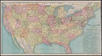
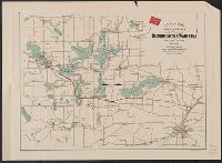
Cover title: Map of Beaver County, Oklahoma and Surrounding Country, showing Town of Hooker. and Verso: Beaver County, Oklahoma [Scale not given ; 11 x 43 cm.].
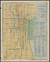
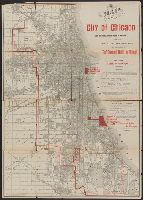
"For 'The standard guide to Chicago.'", "This map also shows the sites selected for the World's Columbian Exposition of 1893.", Caption title., and Imperfect: sheet torn along folds and separated into two pieces.
Publisher:
Rand McNally & Co.,
Subject (Geographic):
Chicago (Ill.)--Maps
Subject (Name):
Flinn, John J. (John Joseph), 1851-1929. Standard guide to Chicago and World's Columbian Exposition--(1893 :--Chicago, Ill.)--Maps