
Search


Limit your search
- Public316
- cartographic316
- Maps, Atlases & Globes✖[remove]316
- Blake, Jacob Edmund, 1811 or 12-18463
- Hardee, T. S3
- Trudeau, Charles Laveau, ca. 1750-18163
- Atkins, Paul M. (Paul Moody), 1892-2
- Charles H. Baker & Co2
- Villavicencio, Manuel, 1822-18712
- Anderson, Richard G., engineer1
- Anville, Jean Baptiste Bourguignon d', 1697-17821
- Arkansas. Surveyor's Office1
- Carey, Mathew, 1760-18391
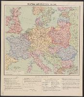
- World War, 1914-1918--France--Lorraine6
- World War, 1914-1918--Maps6
- Boundaries--Europe, Central--19193
- Ethnology--Balkan Peninsula--World War, 1914-19183
- Ethnology--Europe, Eastern--World War, 1914-19183
- World War, 1914-1918--Romania--Maps3
- Boundaries--Europe, Eastern--Maps2
- Electric lines2
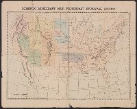
- Railroad land grants--Minnesota--Maps2
- Railroads--Minnesota--Maps2
- [S.l. :✖[remove]316
Current results range from 1633 to 1999