
Search


Limit your search
- Public26
- Maps, Atlases & Globes✖[remove]26
- English26
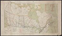
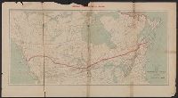
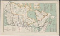
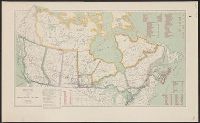
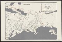
- Railroads--Canada--Maps✖[remove]26
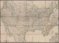
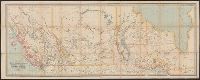
- Railroads--United States--Maps13
- Railroads--Mexico, North--Maps2
- Railroads--North America--Maps2
- Counties--Michigan--Maps1
- Mines and mineral resources--Canada--Maps1
- Railroads--Great Lakes (North America)--Maps1
- Railroads--Northeastern States--Maps1
- Railroads--Northern Hemisphere--Maps1
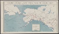
- Transportation--Alaska--Maps1
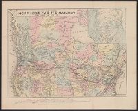
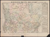
- Northern Pacific Railroad Company--Maps6
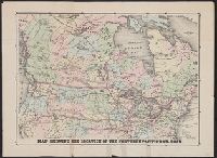
- Canadian Pacific Railway Company--Maps5
- Canada. Dept. of the Interior4
- Aberle, Edward2
- Bartholomew, John, 1831-18932
- Canadian Pacific Railway Company2
- Duluth, South Shore, and Atlantic Railway Company2
- Duluth, South Shore, and Atlantic Railway Company--Maps2
- M.H. Traubel's Lithographic Establishment2
- Canada. Dept. of the Interior. Atlas of Canada1