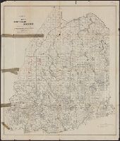
Appalachian Mountain Club map of northern slopes of Madison, Adams and Jefferson
Description:
"Additions 1904 and 1906, and May and June 1907"., "Revised July 1903, Louis F. Cutter, Councillor of topography.", Contour interval 100 ft., Oriented north to bottom., and Shows carriage roads, graded paths, other paths and trails.
United States. Army of the Cumberland. Topographical Engineers Office
Published / Created:
[1864]
Call Number:
787hc 1864
Container / Volume:
BRBL_00517A
Image Count:
1
Resource Type:
Maps, Atlases & Globes
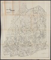
Alternative Title:
Map of part of Georgia
Description:
Date from Stephenson's Civil War maps, 1989. and Includes printed, opaque paper overlay (19 x 26 cm.) pasted onto right-center of map and covering the East Point/Rough & Ready area. Overlay includes geographic features in addition to those shown on original m
Publisher:
Army of the Cumberland, Topographical Engineers Office,
Subject (Geographic):
Campbell County (Ga.)--Maps, Fayette County (Ga.)--Maps, and Fulton County (Ga.)--Maps
Northern Africa and Petermanns geographische Mittheilungen.
Description:
"London, March 1854, published for the author by E. Stanford, 6 Charing Cross.", In top margin: Petermann's geographische Mittheilungen. Tafel 19., Includes ill. of "Artemis oudneyi (Fezzan worm.)"., and Relief shown by hachures and spot heights.
Publisher:
Justus Perthes,
Subject (Geographic):
Libya--Discovery and exploration--Maps and Libya--Maps
Covers the area from Norfolk north to Lancaster Court House and west past Richmond and Petersburg., Shows fortifications, roads, railroads, towns, drainage, and vegetation., and This map varies from the one described by Library of Congress on OCLC Record #51294
Publisher:
United States Coast Survey,
Subject (Geographic):
Virginia--History--Civil War, 1861-1865--Maps and Virginia--Maps