Great Britain. War Office. General Staff. Geographical Section
Published / Created:
1945
Call Number:
56 C442 1945
Container / Volume:
BRBL_00296
Image Count:
1
Resource Type:
Maps, Atlases & Globes
Alternative Title:
Great Britain. War Office. General Staff. Geographical Section. G.S.G.S. ; 2400. and Its G.S.G.S. ; 2400
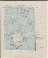
Description:
"Form lines are shown at about 30 feet V.I.", "Polyconic projection.", "Published at W.O., Dec. 1908. G.S.G.S. revised edition, 1927-AMS 1, 1944.", In upper margin: China 1:63,360 ..., Military grid., and Soundings are shown for port areas.
Publisher:
Army Map Service, U.S. Army,
Subject (Geographic):
Beidaihe (China)--Maps and Qinhuangdao Shi (China)--Maps
Great Britain. War Office. General Staff. Geographical Section
Published / Created:
1942
Call Number:
212 C81 1942
Container / Volume:
BRBL_00014
Image Count:
1
Resource Type:
Maps, Atlases & Globes
Alternative Title:
Geographical section, General staff. ; no. 4321 and GSGS (Series) ; 4321.
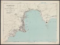
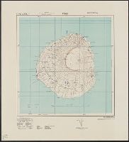
Description:
"Enlarged from an Admiralty chart [no. 1946] dated 1918. The position, alignment and value of all features is only approximate.", Elevations are shown by form lines., In upper margin: Azores 1:100,000 ..., Inset: Azores islands., and Military grid.
Publisher:
Army Map Service, U. S. Army,
Subject (Geographic):
Corvo Island (Azores)--Maps and Flores Island (Azores)--Maps
Great Britain. War Office. General Staff. Geographical Section
Published / Created:
1943
Call Number:
3969 Ib4 1943
Container / Volume:
BRBL_00194
Image Count:
1
Resource Type:
Maps, Atlases & Globes
Alternative Title:
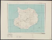
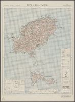
Great Britain. War Office. General Staff. Geographical Section. G.S.G.S. ; 4376., GSGS (Series) ; 4376., Ibiza and Formentera, and Its [G.S.G.S.] ; 4376
Description:
"Contour interval 50 metres.", "N3835-E109 / 35x34.", Five classes of roads and paths, and wooded and intensely culivated areas are shown., In upper margin: Balearic islands 1:100,000 ..., and Insets: Index to adjoining sheets and incidence of grid letters--Relia
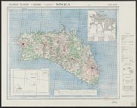
Great Britain. War Office. General Staff. Geographical Section
Published / Created:
1943
Call Number:
3969 M52 1943
Container / Volume:
BRBL_00194
Image Count:
1
Resource Type:
Maps, Atlases & Globes
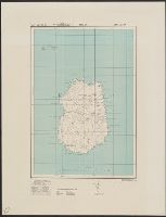
Alternative Title:
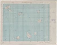
Great Britain. War Office. General Staff. Geographical Section. G.S.G.S. ; 4134., GSGS (Series) ; 4134., and Its [G.S.G.S.] ; 4134
Description:
"Contour interval 50 metres.", "N3945-E345/25x40.", Five classes of roads or paths, three classes of railroads, and areas of woods and intensive culivation are shown., In upper margin: Balearic islands 1:100,000 ..., and Insets: Mahon [with index]--Index to adjoi