Search
You Searched For
Search Results
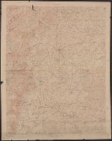
- Creator:
- Geological Survey (U.S.)
- Published / Created:
- 1913
- Call Number:
- 774 G33 1913
- Container / Volume:
- BRBL_00499
- Image Count:
- 1
- Resource Type:
- Maps, Atlases & Globes
- Found in:
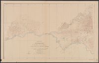
- Beinecke Rare Book and Manuscript Library > Pennsylvania-Maryland : Gettysburg battlefield and vicinity / U.S. Geological Survey.
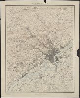
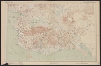
- Creator:
- Geological Survey (U.S.)
- Published / Created:
- 1902
- Call Number:
- 774cbf P53 1908
- Container / Volume:
- BRBL_00501
- Image Count:
- 1
- Resource Type:
- Maps, Atlases & Globes
- Found in:
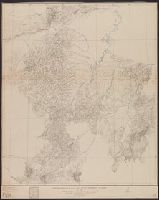
- Beinecke Rare Book and Manuscript Library > Philadelphia and vicinity, Pennsylvania - New Jersey and Delaware.
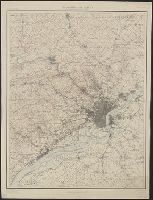
- Creator:
- Geological Survey (U.S.)
- Published / Created:
- 1902
- Call Number:
- 774cbf P53 1908
- Container / Volume:
- BRBL_00501
- Image Count:
- 1
- Resource Type:
- Maps, Atlases & Globes
- Found in:
- Beinecke Rare Book and Manuscript Library > Philadelphia and vicinity, Pennsylvania - New Jersey and Delaware.
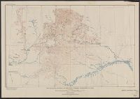
- Creator:
- Geological Survey (U.S.)
- Published / Created:
- 1913
- Call Number:
- 848 K842 1913
- Container / Volume:
- BRBL_00633
- Image Count:
- 1
- Resource Type:
- Maps, Atlases & Globes
- Found in:
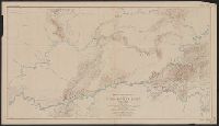
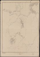
- Beinecke Rare Book and Manuscript Library > Reconnaissance map of Koyukuk-Chandalar region, Alaska / U.S. Geological Survey ; Alfred H. Brooks, Geologist in charge of division, topography and triangulation by T.G. Gerdine ... [et al.].
- Creator:
- Geological Survey (U.S.)
- Published / Created:
- 1909
- Call Number:
- 848 R14 1909
- Container / Volume:
- BRBL_00634
- Image Count:
- 1
- Resource Type:
- Maps, Atlases & Globes
- Found in:
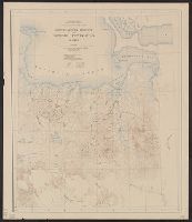
- Beinecke Rare Book and Manuscript Library > Reconnaissance map of Rampart quadrangle, Yukon-Tanana region, Alaska / U.S. Geological Survey ; Alfred H. Brooks, geologist in charge.
- Creator:
- Geological Survey (U.S.)
- Published / Created:
- 1921
- Call Number:
- 848 R82 1921
- Container / Volume:
- BRBL_00634
- Image Count:
- 1
- Resource Type:
- Maps, Atlases & Globes
- Found in:
- Beinecke Rare Book and Manuscript Library > Reconnaissance map of Ruby district, Alaska / U.S. Geoogical Survey; Alfred H. Brooks, geologist in charge of division.
- Creator:
- Geological Survey (U.S.)
- Published / Created:
- 1916
- Call Number:
- 848 Y91 1916
- Container / Volume:
- BRBL_00634
- Image Count:
- 1
- Resource Type:
- Maps, Atlases & Globes
- Found in:
- Beinecke Rare Book and Manuscript Library > Reconnaissance map of Yukon-Koyukuk region, Alaska / U.S. Geological Survey; Alfred H. Brooks, geologist in charge of division, topography by H.M. Eakin [et al].
- Creator:
- Geological Survey (U.S.)
- Published / Created:
- 1907
- Call Number:
- 848 Se87 1907
- Container / Volume:
- BRBL_00634
- Image Count:
- 1
- Resource Type:
- Maps, Atlases & Globes
- Found in:
- Beinecke Rare Book and Manuscript Library > Reconnaissance map of northeastern portion of Seward Peninsula Alaska / U.S. Geological Survey ; Alfred H. Brooks, geologist in charge ; D.C. Witherspoon, topographer ; C.E. Hill, field assistant.
- Creator:
- Geological Survey (U.S.)
- Published / Created:
- 1921
- Call Number:
- 848 K96 1921
- Container / Volume:
- BRBL_00633
- Image Count:
- 1
- Resource Type:
- Maps, Atlases & Globes
- Found in:
- Beinecke Rare Book and Manuscript Library > Reconnaissance map of the Lower Kuskokwim region, Alaska / U.S. Geological Survey ; Alfred H. Brooks, Geologist in charge of division, topography by A.G. Maddren, R.H. Sargent and W.S. Post.
- Creator:
- Geological Survey (U.S.)
- Published / Created:
- 1907
- Call Number:
- 848 Se87 1907A
- Container / Volume:
- BRBL_00634
- Image Count:
- 1
- Resource Type:
- Maps, Atlases & Globes
- Found in:
- Beinecke Rare Book and Manuscript Library > Reconnaissance map, southern part of Seward Peninsula, Alaska / topography by E.C. Barnard, D.L. Reaburn, J.G. Hefty ... [et al.].