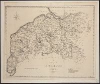
Hand colored., Relief shown pictorially., Shows "West longitude from London" and "from Philadelphia.", and Single sheet, uncolored, mounted on linen. Dimensions: 48 x 65 cm. Recto: Stamped "Yale Horace Brown 1900S".
Publisher:
Sold by T. Jefferys,
Subject (Geographic):
North America--Maps--Early works to 1800 and Northeastern States--Maps--Early works to 1800
Subject (Name):
Evans, Lewis, 1700?-1756, Jefferys, Thomas, d. 1771, and Mellon, Paul--Bookplate
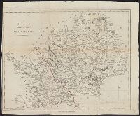
Includes historical notes, text, 3 distance charts, and inset of "A sketch of the remaining part of Ohio R. &c.", Prime meridians: Philadelphia and London., and Relief shown pictorially.
Publisher:
Sold by R. Sayer in Fleet Street & T. Jefferys, Charing Cross,
Subject (Geographic):
Northeastern States--Maps--Early works to 1800
Subject (Name):
Evans, Lewis, 1700?-1756 and Sayer, Robert, 1725-1794
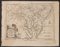
"For the Lond. Mag.", From the London Magazine (August 1757), p. 376., and Sheet measures 20.5 x 26.4 cm. Cross Collection no. 206.
Publisher:
Printed for R. Baldwin in Pater Noster Row,
Subject (Geographic):
Chesapeake Bay Region (Md. and Va.)--Maps--Early works to 1800, Delaware--Maps--Early works to 1800, New Jersey--Maps--Early works to 1800, and Pennsylvania--Maps--Early works to 1800
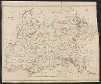
Author statement from McCorkle, p. 40., Includes ill. of animals and coat of arms., Relief shown pictorially., Verso: P. nos. "46", "45"; titles "The Description of New Neatherlands ... ", "The Description, and Verso: Stamped "Yale University Library".
Publisher:
Sold by Tho: Basset in Fleetstreet, and Richard Chiswell in St. Pauls Church Yard,
Subject (Geographic):
New England--Maps--Early works to 1800 and New York (State)--Maps--Early works to 1800
Subject (Name):
Bassett, Thomas, bookseller, Chiswell, Richard, Lamb, Francis, and Speed, John, 1552?-1629. Prospect of the most famous parts of the world