
Search


Limit your search
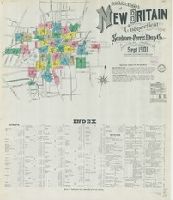
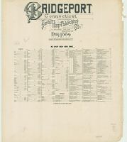
- Sanborn Map Company, issuing body47
- Sanborn-Perris Map Co., issuing body14
- Kissinger, Henry, 1923-20235
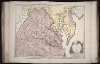
- L'Isle, Guillaume de, 1675-17263
- United States. Office of Strategic Services. Research and Analysis Branch3
- Baker, Anthony St. John, 1785-18542
- Bickham, George, 1706?-1771, printmaker2
- Chamisso, Adelbert von, 1781-18382
- Choris, Louis, 1795-18282
- Cuvier, Georges, baron, 1769-18322
- Description and travel4
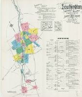
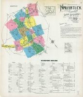
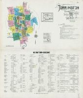
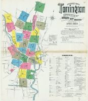
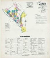
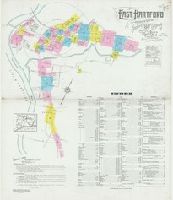
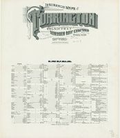
- Fire risk assessment--Connecticut--Torrington--Maps4
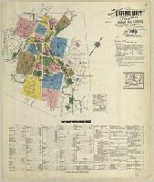
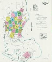
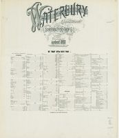
- Fire risk assessment--Connecticut--Waterbury--Maps4
- Real property--Connecticut--Torrington--Maps4
- Real property--Connecticut--Waterbury--Maps4
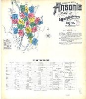
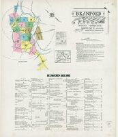
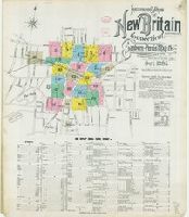
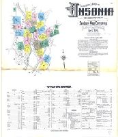
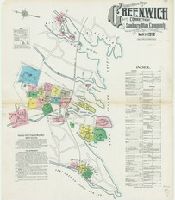
- Fire risk assessment--Connecticut--Ansonia--Maps3
- Fire risk assessment--Connecticut--Bridgeport--Maps3
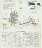
- Fire risk assessment--Connecticut--Bristol--Maps3
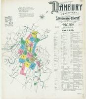
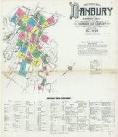
- Fire risk assessment--Connecticut--Danbury--Maps3
- Fire risk assessment--Connecticut--Groton--Maps3
- Library of Congress Stamp52
- Library of Congress Ownership4
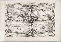
- Cóvens et Mortier. Atlas nouveau3
- Le Maire, François3
- Library of Congress. Map Division Stamp3
- Baker, Anthony St. John, 1785-18542
- Charles Edward, Prince, grandson of James II, King of England, 1720-17882
- Claesz, Cornelis, ca. 1546-1609, publisher2
- Elzevier, Gillis, bookseller2
- Fleury, André Hercule de, 1653-17432