
Search


Limit your search
- Public67
- cartographic✖[remove]67
- Ordnance Survey of Great Britain and Ireland15
- Royal Geographical Society (Great Britain). Geographical Section15
- Bumstead, Albert H. (Albert Hoit), 1875-19403
- Encyclopaedia Britannica, inc3
- Matthews-Northrup Works3
- National Geographic Society (U.S.). Cartographic Division3
- A. K.1
- American Geographical Society of New York1
- Amshewitz, J. H. (John Henry), 1882-19421
- Crétée, B1
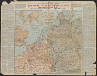
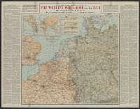
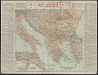
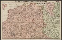
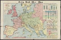
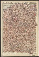
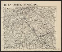
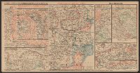
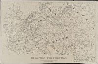
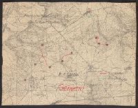
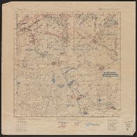
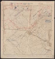
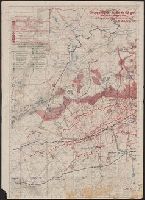
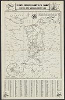
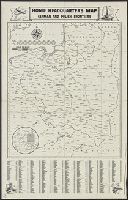
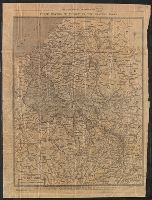
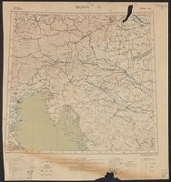
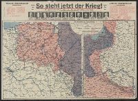
- World War, 1914-1918--Maps✖[remove]67
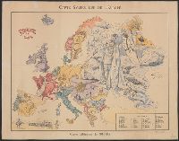
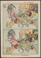
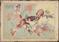
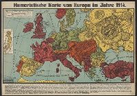
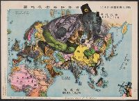
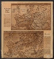
- World War, 1914-1918--Caricatures and cartoons6
- World War, 1914-1918--France--Lorraine6
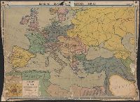
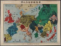
- International relations--20th century--Maps4
- World War, 1914-1918--Belgium--Maps3
- World War, 1914-1918--France--Maps3
- Electric lines2
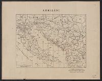
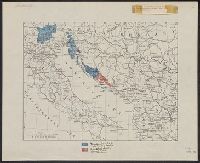
- Ethnology--Yugoslavia--Maps1
- Telephone lines1
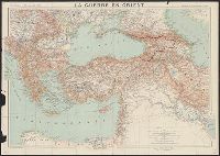
- World War, 1914-1918--Europe--Maps1