
Search

Limit your search
- Public53
- Great Britain. War Office. General Staff. Geographical Section9
- Des Barres, Joseph F. W. (Joseph Frederick Wallet), 1722-18248
- Royal Geographical Society (Great Britain)5
- Great Britain. Directorate of Colonial Surveys4
- Canning, Alfred Wernam, 1860-19361
- Geological Survey (U.S.)1
- Great Britain. War Office. General Staff. Topographical Section1
- Neele, Samuel John, 1758-18241
- Phillips, R. (Richard), Sir, 1767-18401
- Thornton, John, fl. 1652-17011
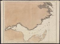
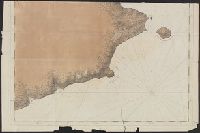
- Nautical charts--Nova Scotia--Early works to 18003
- Coasts--Nova Scotia--Maps--Early works to 18002
- Population--Africa, East--Maps2
- Rain and rainfall--Africa, East--Maps2
- Tsetse-flies--Africa, East--Maps2
- World maps--Early works to 18002
- Cables, Submarine--Maps.1
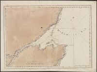
- Coasts--New Brunswick--Maps--Early works to 18001
- Coasts--Québec (Province)--Gaspé Peninsula--Maps--Early works to 18001
- Courts--England--London--Maps.1
- Des Barres, Joseph F. W. (Joseph Frederick Wallet), 1722-1824. Atlantic neptune8
- Great Britain. War Office. General Staff. Geographical Section4
- Holland, Samuel, 1728-18013
- Geological Survey (U.S.)1
- Great Britain. Ordnance Survey1
- Jesserson, Peter, fl. 16751
- Neele, Josiah.1
- Royal Geographical Society (Great Britain)1
- Smith, Deborah, 1640?-16751
- United States. Army Map Service Stamp1
- [London?] :✖[remove]53
Current results range from 1673 to 1954