
Search


Limit your search
- Public✖[remove]177
- cartographic177
- Maps, Atlases & Globes✖[remove]177
- English✖[remove]177
- Spanish; Castilian1
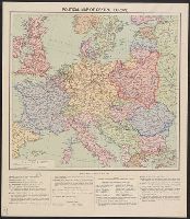
- Boundaries--Europe, Central--19193
- Ethnology--Balkan Peninsula--World War, 1914-19183
- Ethnology--Europe, Eastern--World War, 1914-19183
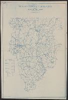
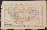
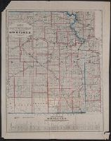
- Railroad land grants--Minnesota--Maps2
- Railroads--Minnesota--Maps2
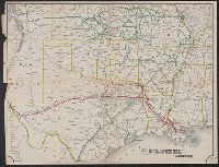
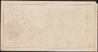
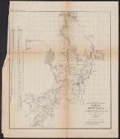
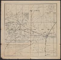
- Railroads--Texas--Maps2
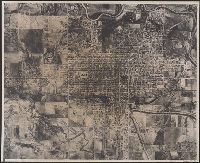
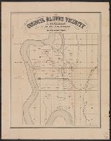
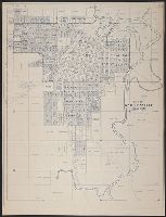
- Real property--Iowa--Council Bluffs Region--Maps2
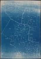
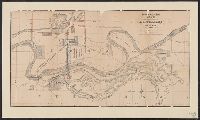
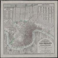
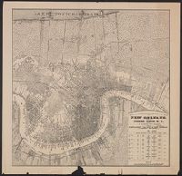
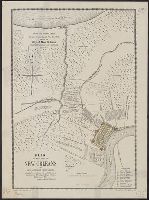
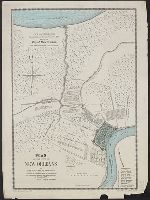
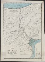
- Streets--Louisiana--New Orleans--Maps2
- World War, 1914-1918--Europe--Maps2
- Block diagrams--Belgium1
- [S.l. :✖[remove]177
Current results range from 1700 to 1999