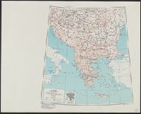
Panama Canal vs. national highways, you own the first, do you want to own the second?
Description:
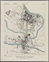
Includes population chart, lengths for "tentative designation of national highways," and text. and Shows tentative locations for a national highway system.
Great Britain. War Office. General Staff. Geographical Section
Published / Created:
1943
Call Number:
3969 Ib4 1943
Container / Volume:
BRBL_00194
Image Count:
1
Resource Type:
Maps, Atlases & Globes
Alternative Title:
Great Britain. War Office. General Staff. Geographical Section. G.S.G.S. ; 4376., GSGS (Series) ; 4376., Ibiza and Formentera, and Its [G.S.G.S.] ; 4376
Description:
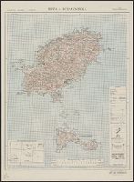
"Contour interval 50 metres.", "N3835-E109 / 35x34.", Five classes of roads and paths, and wooded and intensely culivated areas are shown., In upper margin: Balearic islands 1:100,000 ..., and Insets: Index to adjoining sheets and incidence of grid letters--Relia
Great Britain. War Office. General Staff. Geographical Section
Published / Created:
1943
Call Number:
3969 M52 1943
Container / Volume:
BRBL_00194
Image Count:
1
Resource Type:
Maps, Atlases & Globes
Alternative Title:
Great Britain. War Office. General Staff. Geographical Section. G.S.G.S. ; 4134., GSGS (Series) ; 4134., and Its [G.S.G.S.] ; 4134
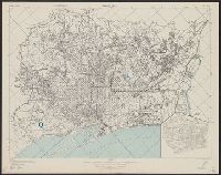
Description:
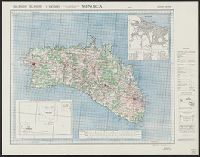
"Contour interval 50 metres.", "N3945-E345/25x40.", Five classes of roads or paths, three classes of railroads, and areas of woods and intensive culivation are shown., In upper margin: Balearic islands 1:100,000 ..., and Insets: Mahon [with index]--Index to adjoi
Great Britain. War Office. General Staff. Geographical Section
Published / Created:
1945
Call Number:
56 N15 1945
Container / Volume:
BRBL_00297
Image Count:
1
Resource Type:
Maps, Atlases & Globes
Alternative Title:
[U.S. Army Map Service. A.M.S. ; L901], GSGS (Series) ; 3831., Its [G.S.G.S.] ; 3831, and Series (Standard map series designation system) ; L901.
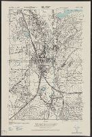
Description:
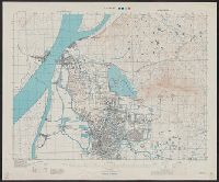
"5-45.", "Contour interval 10 metres.", At head of title: China., Four classes of roads and paths are shown; some streets and buildings are named; areas of vegetation and cultivation are shown., and Military grid.
Its A.M.S. ; 6201 and Series (Standard map series designation system) ; 6201.
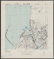
Description:
"Lambert conformal conic projection.", Elevations are shown by hachures and spot heights in meters., Inset shows area with detailed transportation information., and Two classes of roads and five classes of railroads are shown.
"Copied from a Spanish map, 1:14,000, Plano de Barcelona.", At head of title: Spain 1:14,000., Includes inset., Military grid., and Standard map series designation: M981.
Its A.M.S. ; M961 and Series (Standard map series designation system) ; M961.
Description:
"Copied from a French map 1:6,000, Nouveau plan de Charleville-Mezieres.", At head of title: France 1:5,000., and Some streets and buildings are named.