
Search


Limit your search
- Completely digitized✖[remove]62
- Public62
- cartographic✖[remove]62
- Atlases, German --Early works to 18002
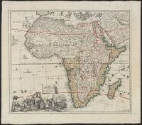
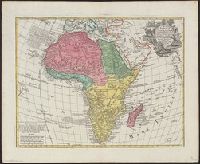
- Coasts--Africa, Eastern--Maps--Early works to 18002
- Coasts--Africa, Southern--Maps--Early works to 18002
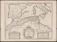
- Ecclesiastical geography--Africa, North--Maps--Early works to 18002
- Coasts--Africa, Central--Maps--Early works to 18001
- Coasts--Africa, West--Maps--Early works to 18001
- Maps--Facsimiles1
- Ogilby, John, 1600-1676. Africa, being an accurate description of the regions of Egypt, Barbary, Lybia and Billedulgerid6
- Langren, Arnold Florent van, 1580-16444
- Linschoten, Jan Huygen van, 1563-1611. Itinerario, voyage ofte schipvaert van Jan Huygen van Linschoten naer Oost ofte Portugaels Indien4
- Jansson, Jan, 1588-16643
- Blaeu, Joan, 1596-16732
- Blaeu, Joan, 1596-1673. Atlas maior2
- Blaeu, Joan, 1596-1673. Theatrum orbis terrarum2
- Blaeu, Willem Janszoon, 1571-1638. Theatrum orbis terrarum2
- Brune, Johan de, 1588-16582
- Claesz, Cornelis, approximately 1546-16092
Current results range from 1522 to 1999