Search
You Searched For
Search Results
- Creator:
- Sanborn Map Company
- Published / Created:
- July, 1923.
- Call Number:
- 776 N642 1923
- Container / Volume:
- BRBL_00502
- Image Count:
- 3
- Resource Type:
- Maps, Atlases & Globes
- Found in:
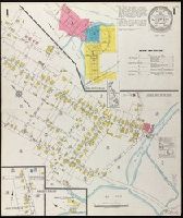
- Beinecke Rare Book and Manuscript Library > Milton, Sussex County, Delaware.
- Creator:
- Sanborn Map Company
- Published / Created:
- June, 1921.
- Call Number:
- 776 N472 1921
- Container / Volume:
- BRBL_00502
- Image Count:
- 2
- Resource Type:
- Maps, Atlases & Globes
- Found in:
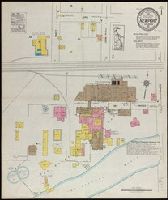
- Beinecke Rare Book and Manuscript Library > Newport, New Castle County, Delaware.
- Creator:
- Hart, Juan S
- Published / Created:
- 1911?]
- Call Number:
- 796 El69 1911
- Container / Volume:
- BRBL_00527
- Image Count:
- 1
- Resource Type:
- Maps, Atlases & Globes
- Found in:
- Beinecke Rare Book and Manuscript Library > Official map of El Paso, Texas / Juan S. Hart, city engineer.
- Creator:
- Congdon, Charles H
- Published / Created:
- [1898?]
- Call Number:
- 844 K459 1898
- Container / Volume:
- BRBL_00604
- Image Count:
- 3
- Resource Type:
- Maps, Atlases & Globes
- Found in:
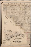
- Beinecke Rare Book and Manuscript Library > Official map of Kern County, California : compiled from public records and private surveys / by Chas. H. Congdon, County Surveyor.
- Creator:
- Semple, Charles C
- Published / Created:
- [between 1900 and 1910]
- Call Number:
- Zc41 900se
- Image Count:
- 2
- Resource Type:
- Maps, Atlases & Globes
- Found in:
- Beinecke Rare Book and Manuscript Library > Original townsite of Caddo, Okla. and additions / Chas. C. Semple, surveyor.
- Creator:
- Ireland, J. B. (Jerome Bonaparte), 1879-
- Published / Created:
- [1950?]
- Call Number:
- 836 Sa37 1858
- Container / Volume:
- BRBL_00592
- Image Count:
- 1
- Resource Type:
- Maps, Atlases & Globes
- Found in:
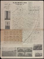
- Beinecke Rare Book and Manuscript Library > Pioneer map showing lot locations of first pioneer owners in the five-acre plat "A" portion of the Big Field Survey, Great Salt Lake City / drawn by J. B. Ireland.
- Creator:
- Savigny, Hugh P
- Published / Created:
- [1870]
- Call Number:
- BrSides Double Folio 2018 101
- Image Count:
- 1
- Resource Type:
- Maps, Atlases & Globes
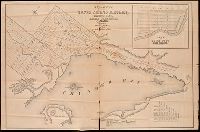
- Found in:
- Beinecke Rare Book and Manuscript Library > Plan of survey of the silver mining district, Thunder Bay, Lake Superior, Canada / compiled by Hugh P. Savigny, P.L.S.
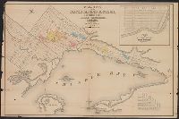
- Creator:
- Savigny, Hugh P.
- Published / Created:
- [1870]
- Call Number:
- 8075gfc 1870
- Container / Volume:
- BRBL_00551
- Image Count:
- 1
- Resource Type:
- Maps, Atlases & Globes
- Found in:
- Beinecke Rare Book and Manuscript Library > Plan of survey of the silver mining district, Thunder Bay, Lake Superior, Canada / compiled by Hugh P. Savigny, P.L.S.
- Published / Created:
- 1860
- Call Number:
- 806gme C43 1860
- Container / Volume:
- BRBL_00549
- Image Count:
- 1
- Resource Type:
- Maps, Atlases & Globes
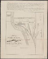
- Found in:
- Beinecke Rare Book and Manuscript Library > Plat exhibiting the location of the Southern Michigan and Rock Island R.R. depots and adjacent grounds. / lithographed by Ed Mendel.
- Published / Created:
- 1944
- Call Number:
- BrSides Folio 2017 107
- Image Count:
- 1
- Resource Type:
- Maps, Atlases & Globes
- Found in:
- Beinecke Rare Book and Manuscript Library > Proprietary division of the common land in Canaan Parish, 1698-1800 / S.B.H. and T.W.B.