Search
You Searched For
Search Results
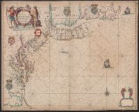
- Creator:
- Seller, John, fl. 1658-1698
- Published / Created:
- 1675?]
- Call Number:
- 755cea 1675
- Container / Volume:
- BRBL_00441
- Image Count:
- 1
- Resource Type:
- Maps, Atlases & Globes
- Subject (Geographic):
- New England--Nautical charts--Early
- Found in:
- Beinecke Rare Book and Manuscript Library > A chart of the sea coasts of New-England, New-Jarsey, Virginia, Maryland and Carolina : from C. Cod to C. Hatteras / by John Seller, hydrogr. to the King ; Iames Clerk sculpsit.
- Creator:
- Kitchin, Thomas, d. 1784
- Published / Created:
- 1766?]
- Call Number:
- 755 1763A
- Container / Volume:
- BRBL_00428
- Image Count:
- 1
- Resource Type:
- Maps, Atlases & Globes
- Found in:
- Beinecke Rare Book and Manuscript Library > A new and accurate map of the British dominions in America, according to the Treaty of 1763, divided into the several provinces and jurisdictions : projected upon the best authorities and astronomical observations / by Thos. Kitchin, geographer.
- Creator:
- Kitchin, Thomas, d. 1784
- Published / Created:
- 1780?]
- Call Number:
- 755 1760
- Container / Volume:
- BRBL_00428
- Image Count:
- 1
- Resource Type:
- Maps, Atlases & Globes
- Found in:
- Beinecke Rare Book and Manuscript Library > British dominions in America : drawn from the latest and best authorities / by Thos. Kitchin, hydrographer to his majesty.
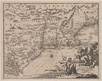
- Creator:
- Montanus, Arnoldus, 1625?-1683
- Published / Created:
- 1671?]
- Call Number:
- 755 1671B
- Container / Volume:
- BRBL_00680
- Image Count:
- 1
- Resource Type:
- Maps, Atlases & Globes
- Subject (Geographic):
- New England--Maps--Early works to 1800
- Found in:
- Beinecke Rare Book and Manuscript Library > Novi Belgii, quod nunc Novi Jorck vocatur, Novae q[ue] Angliae & partis Virginiae : accuratissima et novissima delineatio.
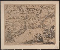
- Creator:
- Montanus, Arnoldus, 1625?-1683
- Published / Created:
- 1671?]
- Call Number:
- 755 1671B
- Container / Volume:
- BRBL_00423
- Image Count:
- 1
- Resource Type:
- Maps, Atlases & Globes
- Subject (Geographic):
- New England--Maps--Early works to 1800
- Found in:
- Beinecke Rare Book and Manuscript Library > Novi Belgii, quod nunc Novi Jorck vocatur, Novae q[ue] Angliae & partis Virginiae : accuratissima et novissima delineatio.
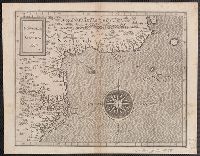
- Creator:
- Wytfliet, Corneille
- Published / Created:
- 1597
- Call Number:
- 755 1597
- Container / Volume:
- BRBL_00728
- Image Count:
- 1
- Resource Type:
- Maps, Atlases & Globes
- Found in:
- Beinecke Rare Book and Manuscript Library > Norumbega et Virginia, 1597 [cartographic material].
- Creator:
- Poole Brothers
- Published / Created:
- [1903]
- Call Number:
- 76gme 1903
- Container / Volume:
- BRBL_00446A
- Image Count:
- 1
- Resource Type:
- Maps, Atlases & Globes
- Subject (Topic):
- Ferries--New England--Maps
- Found in:
- Beinecke Rare Book and Manuscript Library > The New York, New Haven and Hartford Railroad and connections.
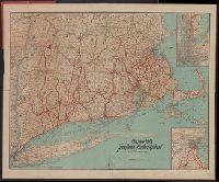
- Creator:
- H.H. Lloyd & Co
- Published / Created:
- c1855.
- Call Number:
- 753 1855
- Container / Volume:
- BRBL_00415
- Image Count:
- 1
- Resource Type:
- Maps, Atlases & Globes
- Alternative Title:
- Tourist's map of New York, New England
- Description:
- , New England, and Canada.
- Subject (Geographic):
- New England--Maps
- Found in:
- Beinecke Rare Book and Manuscript Library > Lloyd's map of the Canadas, New York, & New England.
- Creator:
- Homann, Johann Baptist, 1663-1724
- Published / Created:
- 1759?]
- Call Number:
- 75 1710
- Container / Volume:
- BRBL_00689
- Image Count:
- 1
- Resource Type:
- Maps, Atlases & Globes
- Description:
- Cf. McCorkle, B.B. New England in early
- Subject (Geographic):
- New England--Maps--Early works to 1800
- Found in:
- Beinecke Rare Book and Manuscript Library > Nova Anglia septentrionali Americae implantata Anglorumque coloniis florentissima geographice exhibita / [cartographic material] / a Ioh. Baptista Homann ...
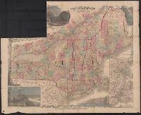
- Creator:
- Home Educator Company.
- Published / Created:
- c1905.
- Call Number:
- 76gm 1905
- Image Count:
- 1
- Resource Type:
- Maps, Atlases & Globes
- Description:
- larger cities and towns of New England.
- Subject (Geographic):
- New England--Maps.
- Subject (Topic):
- Electric railroads--New England--Maps.
- Found in:
- Beinecke Rare Book and Manuscript Library > The New England commercial and route survey [cartographic material] : showing all postoffices, railroads, electric roads in operation and proposed, good roads, population (showing latest Massachusetts census) and a comprehensive distance table.