
Search


Limit your search
- Public100
- cartographic✖[remove]100
- H.M. Gousha Company10
- Rand McNally and Company5
- Survey of India3
- American Geographical Society of New York2
- Edinburgh Geographical Institute2
- Geological Survey (U.S.)2
- Alberta. Dept. of Public Works1
- Automobile Association (Great Britain). Touring Dept1
- Bartholomew, J. G. (John George), 1860-19201
- Bekins Van & Storage Co1
- Maps--Facsimiles3
- Roads--California--Los Angeles Metropolitan Area--Maps3
- Streets--California--San Francisco--Maps3
- Maps--Early works to 1800--Facsimiles2
- Street-railroads--California--San Francisco--Maps2
- Streets--California--Los Angeles--Maps2
- Streets--Oregon--Portland--Maps2
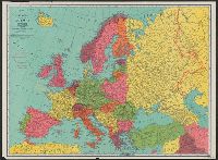
- World War, 1914-1918--Europe--Maps2
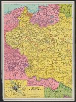
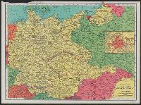
- World War, 1939-1945--Europe, Central--Maps2
- Bicycle trails--England--Essex--Maps1