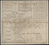
In bottom margin: Andrew B. Graham, photo-litho, Washington, D.C., In English and Spanish., and Prime meridians: Greenwich and Paris.
Publisher:
Andrew B. Graham?],
Subject (Name):
Andrew B. Graham Co, International American Conference (2nd : 1901-1902 : Mexico), Pan-American Railway--Maps, and Permanent Pan-American Railway Committee
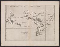
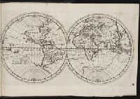
From Herrera y Tordesillas's Descripción de las Indias Occidentales ... Amstelodami : Apud M. Colinium, 1622., Map of the World from China, west to Spain showing the 'Merida, Relief shown pictorially., and Sheet measures 28.5 x 36.9 cm. Cross Collection no. 112.
America, die newe Welt oder Inseln so hinder Hispania gegen Orient bey dem Landt Indie gelegen and Newen Inseln so hinder Hispaniam gegen Orient bey dem Landt Indie gelegen
Description:
Text in German; place names in Latin or
Publisher:
s.n.,
Subject (Geographic):
America--Maps--Early works to 1800, Pacific Ocean--Maps--Early works to 1800, and Western Hemisphere--Maps--Early works to 1800
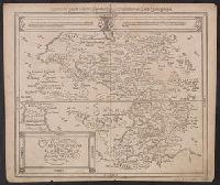
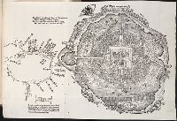
Descriptio ac delineatio geographica detectionis freti, sive, transitus ad occasum supra terras
Image Count:
1
Alternative Title:
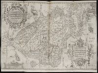
Caerte van’t noorderste Russen, Samojeden, ende Tingoesen landt
Description:
Bound in after p. [30]., Description of Siberia by Isaac Abrahamszoon Massa., Map cut and folded irregularly., Map has multiple small ink stains on verso at the top., Printed on recto in lower right corner: D3., and Scale not given.
Subject (Geographic):
Barents Sea --Maps --Early works to 1800
Subject (Name):
Massa, Isaac, 1587-1635
Collection Created:
Amsterodami Ex officina Hesse lij Gerardi. Anno 1613
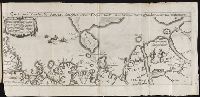
... Iohn Hvighen van Linschoten. his Discours of Voyages into ye Easte & West Indies. Deuided into
Image Count:
1
Description:
[Scale ca. 1:19,000,000]., Bound in following p. 216., In ink on verso: "197" in upper left corner, which has also been crossed out in ink with three lines., Map has been repaired with tape on verso., Map has one vertical tear just left of center., Map has several small brown and yellow marks that can be seen mostly on verso., and Map properly belongs to the Dutch edition of 1596.
Subject (Geographic):
Brazil --Maps --Early works to 1800, Chile --Maps --Early works to 1800, Cuba --Maps --Early works to 1800, Florida --Maps --Early works to 1800, Peru --Maps --Early works to 1800, South America --Maps --Early works to 1800, Tierra del Fuego (Argentina) --Maps --Early works to 1800, and West Indies --Maps --Early works to 1800
Subject (Topic):
Voyages and travels --Early works to 1800
Collection Created:
Printed at London by Iohn Wolfe Printer to ye Honorable Cittie of London [1598]
John Huighen van Linschoten, his Discours of Voyages into ye Easte & West Indies
Image Count:
1
Description:
[Scale ca. 1:13,500,000]., Bound in following p. 32., and Map has several small brown marks on the left portion that can also be seen on the verso.
Subject (Geographic):
Borneo --Maps --Early works to 1800, China --Maps --1368-1644, Japan --Maps --Early works to 1800, Java (Indonesia) --Maps --Early works to 1800, and Sumatra (Indonesia) --Maps
Subject (Name):
Wolfe, John, d. 1601, printer
Subject (Topic):
Voyages and travels --Early works to 1800
Collection Created:
[London] : Printed at London by [John Windet for] Iohn Wolfe, printer to ye Honorable Cittie of London, [1598]