
Search


Limit your search
- Public92
- cartographic✖[remove]92
- H.M. Gousha Company10
- Survey of India3
- American Geographical Society of New York2
- Edinburgh Geographical Institute2
- Geological Survey (U.S.)2
- Automobile Association (Great Britain). Touring Dept1
- Bartholomew, J. G. (John George), 1860-19201
- Bigot, Paul-Marie-Arsène, 1870-1942, cartographer1
- C.S. Hammond & Company1
- California Map Company1
- Maps--Facsimiles4
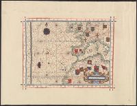
- Maps--Early works to 1800--Facsimiles2
- Nautical charts--Long Island Sound (N.Y. and Conn.)2
- Roads--California--Los Angeles Metropolitan Area--Maps2
- Roads--Iowa--Maps2
- World War, 1914-1918--Europe--Maps2
- World maps--Early works to 1800--Facsimiles2
- Bicycle trails--England--Essex--Maps1
- British--America--Maps--Early works to 1800--Facsimiles1
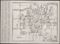
- Central business districts--Colorado--Denver--Maps1