Search
You Searched For
Search Results
- Published / Created:
- 1711
- Call Number:
- 764 B65 1711
- Container / Volume:
- BRBL_00710
- Image Count:
- 1
- Resource Type:
- Maps, Atlases & Globes
- Found in:
- Beinecke Rare Book and Manuscript Library > A New plan of the Harbour of Boston in New England. Lat. 42, 29 North. Long. 71 West. Surveyed by Order of the Commissioners of her Majesty's Navy.
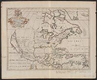
- Creator:
- Anville, Jean Baptiste Bourguignon d', 1697-1782
- Published / Created:
- 17--?]
- Call Number:
- 71 1769A
- Container / Volume:
- BRBL_00364
- Image Count:
- 1
- Resource Type:
- Maps, Atlases & Globes
- Found in:
- Beinecke Rare Book and Manuscript Library > A map of North America : from D'Anville, 1769.
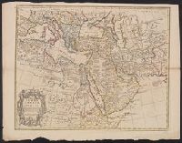
- Creator:
- L'Isle, Guillaume de, 1675-1726
- Published / Created:
- 1711
- Call Number:
- 53 1711
- Container / Volume:
- BRBL_00684
- Image Count:
- 1
- Resource Type:
- Maps, Atlases & Globes
- Found in:
- Beinecke Rare Book and Manuscript Library > A map of Turky [sic] Arabia & Persia : corrected from the latest travels and from the observations of the Royal Societys of London and Paris / by G. De L'Isle.
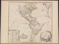
- Creator:
- Delarochette, L. (Louis), 1731-1802
- Published / Created:
- 17--?]
- Call Number:
- 70 1770
- Container / Volume:
- BRBL_00356
- Image Count:
- 1
- Resource Type:
- Maps, Atlases & Globes
- Found in:
- Beinecke Rare Book and Manuscript Library > A map of the whole continent of America : according to D'Anville & Bellin / by L. Delarochette ; Bayly, sculpt.
- Published / Created:
- [17--?]
- Call Number:
- 39 C11 1702
- Container / Volume:
- BRBL_00189
- Image Count:
- 1
- Resource Type:
- Maps, Atlases & Globes
- Found in:
- Beinecke Rare Book and Manuscript Library > A mapp of the bay and towne of Cadiz : with all it's fortifications as it was ye 15th. of August 1702, at the time of Sr. George Rooke's coming before it / H. Hulsbergh, scu.
- Published / Created:
- 1711
- Call Number:
- 39 1711
- Container / Volume:
- BRBL_00185
- Image Count:
- 1
- Resource Type:
- Maps, Atlases & Globes
- Found in:
- Beinecke Rare Book and Manuscript Library > A new and Exact map of Spanish & Portugal ... H. Moll, Geographer.
- Creator:
- Wells, Edward, 1667-1727
- Published / Created:
- between 1700 and 1722?]
- Call Number:
- 71 1722
- Container / Volume:
- BRBL_00362
- Image Count:
- 1
- Resource Type:
- Maps, Atlases & Globes
- Found in:
- Beinecke Rare Book and Manuscript Library > A new map of North America shewing its principal divisions, chief cities, townes, rivers, mountains &c. / delin. M. Burg. ; sculpt. Univ. Oxon.
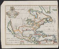
- Creator:
- Wells, Edward, 1667-1727
- Published / Created:
- between 1700 and 1722?]
- Call Number:
- 71 1722 A
- Container / Volume:
- BRBL_00362
- Image Count:
- 1
- Resource Type:
- Maps, Atlases & Globes
- Found in:
- Beinecke Rare Book and Manuscript Library > A new map of North America shewing its principal divisions, chief cities, townes, rivers, mountains &c. / delin. M. Burg. ; sculpt. Univ. Oxon.
- Creator:
- Schenk, Peter, 1660-1718 or 1719
- Published / Created:
- 17--?]
- Call Number:
- 70 1710
- Container / Volume:
- BRBL_00354
- Image Count:
- 1
- Resource Type:
- Maps, Atlases & Globes
- Found in:
- Beinecke Rare Book and Manuscript Library > America Septentrionalis novissima / P. Schenk ex: Amsteloed: cum privil.
- Published / Created:
- 17--?]
- Call Number:
- 32 Sa34 553
- Container / Volume:
- BRBL_00054
- Image Count:
- 2
- Resource Type:
- Maps, Atlases & Globes
- Found in:
- Beinecke Rare Book and Manuscript Library > An exact plan and section of Old Sarum also the East view of that antient City as it then stood (before its reduction) in 553. Taken from the best authorities by F. Merryweather.