
Search


Limit your search
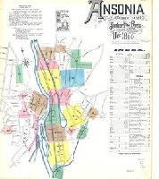
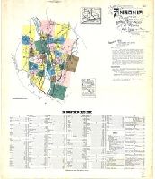
- Atlases✖[remove]328
- Cadastral maps222
- Fire insurance maps222
- Connecticut220
- local220
- Maps in books87
- Engravings75
- Maps75
- Hand coloring66
- Illustrations13
- Maps, Atlases & Globes✖[remove]328
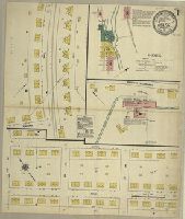
- Sanborn Map Company, issuing body120
- Sanborn-Perris Map Co., issuing body62
- Sanborn Map & Publishing Co., issuing body34
- Berry, William, fl. 1669-1708, creator29
- Sanson, Nicolas, 1600-166726
- Wit, Frederik de., creator9
- Benitz, A. 7
- Blaeu, Joan, 1596-1673, creator5
- Browne, Christopher, fl. 1684-1712, bookseller5
- Sanborn Map Company5
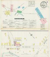
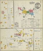
- Fire risk assessment--Connecticut--Berlin--Maps11
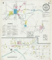
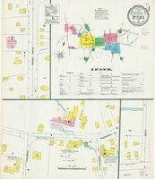
- Fire risk assessment--Connecticut--Bristol--Maps8
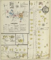
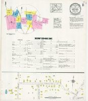
- Fire risk assessment--Connecticut--Killingly (Town)--Maps8
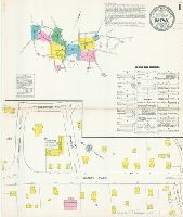
- Fire risk assessment--Connecticut--Milford--Maps8
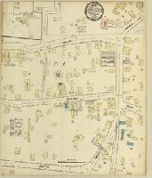
- Fire risk assessment--Connecticut--New Haven--Maps8
- Real property--Connecticut--Bristol--Maps8
- Real property--Connecticut--Killingly (Town)--Maps8
- Real property--Connecticut--Milford--Maps8
- Real property--Connecticut--New Haven--Maps8
- Fire risk assessment--Connecticut--Branford--Maps7
- Library of Congress Stamp189
- Library of Congress. Map Division Stamp21
- Library of Congress Ownership16
- Chamberlin, Thomas C. (Thomas Chrowder), 1843-19284
- Irving, R. D3
- Strong, Moses McCure3
- Greenwich Insurance Company Stamp2
- K.K. Universitäts-Bibliothek Innsbruck Stamp2
- P.S. Duval & Son2
- Continental Insurance Company Ownership1