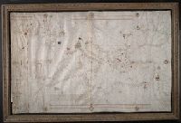
1. Portolan chart of the Mediterranean Sea, the North Atlantic Ocean, the Black Sea, and the Creator: Becharius, Franciscus. Published / Created: [1403] Call Number: Art Storage 1980 158 Image Count: 2 Resource Type: Maps, Atlases & Globes Description: Portolan chart with seaport names given Subject (Geographic): Black Sea--Maps--Early works to 1800., Mediterranean Sea--Maps--Early works to 1800., and North Atlantic Ocean--Maps--Early works to 1800. Subject (Topic): Nautical charts--Black Sea--Early works Found in: Beinecke Rare Book and Manuscript Library > Portolan chart of the Mediterranean Sea, the North Atlantic Ocean, the Black Sea, and the northwestern African coast.