
Search


Limit your search
- Public23
- Maps✖[remove]23
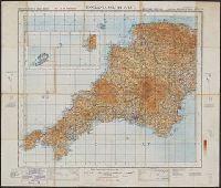
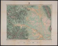
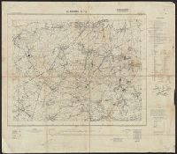
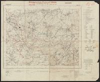
- Topographic maps✖[remove]23
- Military maps2
- Annotations (Provenance)--19th century1
- Nautical charts1
- Maps, Atlases & Globes✖[remove]23
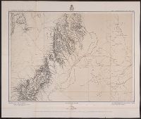
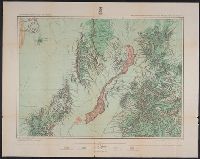
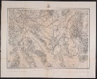
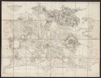
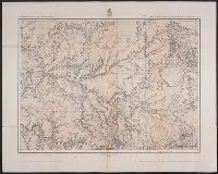
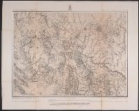
- Geographical Surveys West of the 100th Meridian (U.S.)5
- Geological Survey (U.S.)4
- Great Britain. Ordnance Survey3
- Germany. Heer. Generalstab2
- Allied Forces1
- Bouma, Donald G1
- Brehm, John J. B1
- Darley, James M. (James Morrison)1
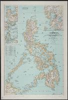
- Egypt. Maṣlaḥat al-Misāḥah, cartographer, issuing body1
- Geological and Geographical Survey of the Territories (U.S.)1
- Mines and mineral resources--Colorado--Leadville--Maps.2
- Gold mines and mining--Colorado--Central City--Maps.1
- Historical geography1
- Land capability for agriculture--Colorado--Maps1
- Land use--Colorado--Maps1
- Land use--New Mexico--Maps1
- Mines and mineral resources--Colorado--Central City--Maps.1
- Nautical charts1
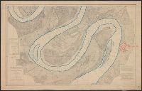
- Nautical charts--Mississippi River--Maps.1
- Surveys1
- Wheeler, George M. (George Montague), 1842-19055
- Bien, Julius, 1829-19091
- Birdseye, C. H. (Claude Hale), 1878-19411
- Chapman, Pearson1
- Davis, E. P.1
- Davis, Geo. R. (George R.)1
- Douglas, E. M. (Edward Morehouse), 1855-19321
- Fowler, A. T1
- Gannett, Henry, 1846-19141
- Geographical Surveys West of the 100th Meridian (U.S.)1