
Search


Limit your search
- Public100
- Maps, Atlases & Globes✖[remove]100
- H.M. Gousha Company22
- Rand McNally and Company7
- Survey of India3
- American Geographical Society of New York2
- Edinburgh Geographical Institute2
- Geological Survey (U.S.)2
- Alberta. Dept. of Public Works1
- Automobile Association (Great Britain). Touring Dept1
- Bartholomew, J. G. (John George), 1860-19201
- Bekins Van & Storage Co1
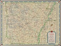
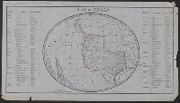
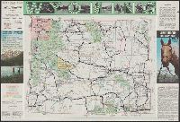
- Roads--California--Los Angeles Metropolitan Area--Maps3
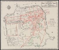
- Streets--California--San Francisco--Maps3
- Nautical charts--Long Island Sound (N.Y. and Conn.)2
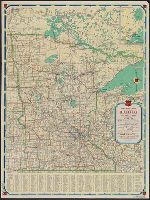
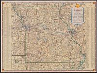
- Roads--Iowa--Maps2
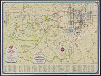
- Roads--Missouri--Saint Louis Metropolitan Area--Maps2
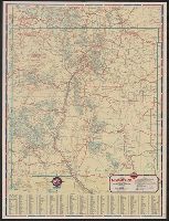
- Roads--South Dakota--Maps2
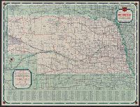
- Roads--United States--Maps2
- Street-railroads--California--San Francisco--Maps2
- Streets--California--Los Angeles--Maps2
- Streets--Missouri--Saint Louis--Maps2