Search
You Searched For
Search Results
- Creator:
- Adam and Charles Black (Firm)
Aikman, George, engraver
Barlow, Peter, 1776-1862
- Published / Created:
- 1854]
- Call Number:
- 11 1854
- Container / Volume:
- BRBL_00009
- Image Count:
- 1
- Resource Type:
- Maps, Atlases & Globes
- Found in:
- Beinecke Rare Book and Manuscript Library > A chart of magnetic curves of equal variation / by Peter Barlow.
- Creator:
- International Telecommunication Union. Bureau
- Published / Created:
- 1896
- Call Number:
- BrSides Folio 2018 130
- Image Count:
- 1
- Resource Type:
- Maps, Atlases & Globes
- Found in:
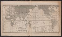
- Beinecke Rare Book and Manuscript Library > Carte générale des grandes communications télégraphiques du monde / dressée d'après des documents officiels par le Bureau International des Administrations Télégraphiques ; dessinée et gravée par C. v. Hoven.
- Creator:
- Barber, John Warner, 1798-1885
Willard, Asaph, 1786-1880
Woodbridge, William C. (William Channing), 1794-1845
- Published / Created:
- 1821?]
- Call Number:
- 11e 1821B
- Container / Volume:
- BRBL_00007
- Image Count:
- 1
- Resource Type:
- Maps, Atlases & Globes
- Found in:
- Beinecke Rare Book and Manuscript Library > Chart of the inhabited world, exhibiting the prevailing religion,form of government, degree of civilization, & population of each country / engraved by A. Willard & J.W. Barber.
- Creator:
- Berghaus, Hermann, 1828-1890
- Published / Created:
- 1879
- Call Number:
- 11cbf 1879
- Container / Volume:
- BRBL_00010A
- Image Count:
- 1
- Resource Type:
- Maps, Atlases & Globes
- Found in:
- Beinecke Rare Book and Manuscript Library > Höhen und Tiefen der Erde / von Hermann Berghaus.
- Published / Created:
- 1866?]
- Call Number:
- 11 1866A
- Container / Volume:
- BRBL_00009
- Image Count:
- 2
- Resource Type:
- Maps, Atlases & Globes
- Found in:
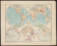
- Beinecke Rare Book and Manuscript Library > Johnson's World on Mercators projection / published by Johnson and Ward.
- Creator:
- Monk, Jacob
- Published / Created:
- 1854
- Call Number:
- 71 1854
- Container / Volume:
- BRBL_00371
- Image Count:
- 4
- Resource Type:
- Maps, Atlases & Globes
- Found in:
- Beinecke Rare Book and Manuscript Library > New map of that portion of North America, exhibiting the United States and territories, the Canadas, New Brunswick, Nova Scotia, and Mexico, also Central America, and the West India Islands : compiled from the most recent surveys, and other authentic sour
- Creator:
- United States. Department of the Treasury. Bureau of Statistics
- Published / Created:
- [1899]
- Call Number:
- BrSides Folio 2019 64
- Image Count:
- 1
- Resource Type:
- Maps, Atlases & Globes
- Found in:
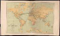
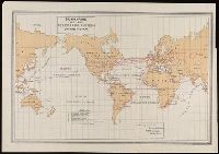
- Beinecke Rare Book and Manuscript Library > Submarine and land telegraph systems of the world [cartographic material].
- Creator:
- Ryerson, Mary
- Published / Created:
- 1840
- Call Number:
- BrSides Folio 2017 64
- Image Count:
- 1
- Resource Type:
- Maps, Atlases & Globes
- Found in:
- Beinecke Rare Book and Manuscript Library > The world / by Mary Ryerson, at the age of 14.
- Creator:
- Harper & Brothers, cartographer, publisher
- Call Number:
- 11 1840C
- Image Count:
- 1
- Resource Type:
- Maps, Atlases & Globes
- Found in:
- Beinecke Rare Book and Manuscript Library > The world on Mercator's projection : intermediate series / engraved by Charles Copley.
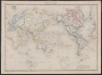
- Creator:
- Wyld, James, 1812-1887, creator
- Published / Created:
- 1852
- Call Number:
- 11 1852A
- Container / Volume:
- BRBL_00009
- Image Count:
- 1
- Resource Type:
- Maps, Atlases & Globes
- Found in:
- Beinecke Rare Book and Manuscript Library > The world, on Mercator's projection.