Search
You Searched For
Search Results
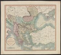
- Creator:
- Cary, John, ca. 1754-1835
- Published / Created:
- 1801
- Call Number:
- 491 1801
- Container / Volume:
- BRBL_00269
- Image Count:
- 1
- Resource Type:
- Maps, Atlases & Globes
- Description:
- Appears in the author's Cary's new
- Found in:
- Beinecke Rare Book and Manuscript Library > A new map of Turkey in Europe, divided into its provinces, from the best authorities / by John Cary, engraver.
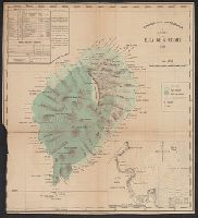
- Creator:
- Portugal. Comissão de Cartografia das Colónias, author
- Call Number:
- 6514 1885
- Container / Volume:
- BRBL_00342
- Image Count:
- 1
- Resource Type:
- Maps, Atlases & Globes
- Found in:
- Beinecke Rare Book and Manuscript Library > Carta da Ilha de S. Thomé / Comissão de Cartographia ; coordenada por Ernesto de Vasconcellos ; desenhada por A. A. d' Oliveira.
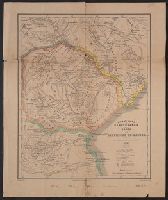
- Creator:
- Portugal. Comissão de Cartografia das Colónias, author
- Published / Created:
- 1887
- Call Number:
- 636 1887
- Container / Volume:
- BRBL_00337
- Image Count:
- 1
- Resource Type:
- Maps, Atlases & Globes
- Found in:
- Beinecke Rare Book and Manuscript Library > Carta do Districto de Manica e dos territorios circumvizinhos / Comissão de Cartographia ; Carvalho gr.
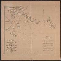
- Creator:
- Portugal. Comissão de Cartografia das Colónias, author
- Published / Created:
- 1907
- Call Number:
- 213 1907
- Container / Volume:
- BRBL_00015
- Image Count:
- 1
- Resource Type:
- Maps, Atlases & Globes
- Found in:
- Beinecke Rare Book and Manuscript Library > Oceano Atlantico Norte, Africa, Archipelago de Cabo Verde, Ilha de S. Thiago : Plano hydrographico do Porto da Praia / Commissão de Cartographia.
- Creator:
- United States. Army. Corps of Engineers, author
- Published / Created:
- [1834]
- Call Number:
- 761 1834
- Container / Volume:
- BRBL_00447
- Image Count:
- 1
- Resource Type:
- Maps, Atlases & Globes
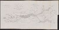
- Found in:
- Beinecke Rare Book and Manuscript Library > The Kennebec River and adjacent country : shewing the routes examined for a road from Augusta to the Canada line in the direction of Quebec / reconnaissance made in 1834 by Hartman Bache, T.E. & B.T. Major, assisted by G.W. Ward, 2nd Lt. 2nd Arty. and J.F
- Creator:
- Bellin, Jacques Nicolas, 1703-1772
- Published / Created:
- 1764].
- Call Number:
- 755 1764
- Container / Volume:
- BRBL_00429
- Image Count:
- 1
- Resource Type:
- Maps, Atlases & Globes
- Description:
- Appears in the author's Le petit atlas
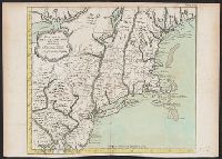
- Found in:
- Beinecke Rare Book and Manuscript Library > Carte de la Nouvelle Angleterre : New York, Pensilvanie et Nouveau Jersay suivant les cartes angloises.
- Creator:
- Jansson, Jan, 1588-1664
- Published / Created:
- 1652?]
- Call Number:
- 406 1652A
- Container / Volume:
- BRBL_00236
- Image Count:
- 1
- Resource Type:
- Maps, Atlases & Globes
- Description:
- From the author's Accuratissima orbis
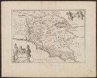
- Found in:
- Beinecke Rare Book and Manuscript Library > Latium.
- Creator:
- Langren, Arnold Florent van, 1580-1644, cartographer
- Published / Created:
- [1638]
- Call Number:
- 90 1638
- Container / Volume:
- BRBL_00661
- Image Count:
- 1
- Resource Type:
- Maps, Atlases & Globes
- Found in:
- Beinecke Rare Book and Manuscript Library > Delineatio omnium orarum totius Australis partis Americae ... / Arnoldus Florentius à Langren, author & sculptor.
- Creator:
- Des Barres, Joseph F. W. (Joseph Frederick Wallet), 1722-1824
- Published / Created:
- Septr. 1 1781.
- Call Number:
- 733cea M67 1781
- Container / Volume:
- BRBL_00379
- Image Count:
- 1
- Resource Type:
- Maps, Atlases & Globes
- Description:
- From the author's Atlantic Neptune.
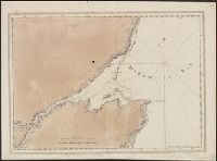
- Found in:
- Beinecke Rare Book and Manuscript Library > [A chart of the bay and river of Miramichy / surveyed by Samuel Holland].
- Creator:
- Des Barres, Joseph F. W. (Joseph Frederick Wallet), 1722-1824
- Published / Created:
- March 1781.
- Call Number:
- 732cea L97 1781
- Container / Volume:
- BRBL_00378
- Image Count:
- 1
- Resource Type:
- Maps, Atlases & Globes
- Description:
- From the author's Atlantic Neptune.
- Found in:
- Beinecke Rare Book and Manuscript Library > King's Bay, Lunenburg.