
Search


Limit your search
- Public33
- Cary, John2
- Great Britain. War Office. General Staff. Geographical Section2
- United States. Office of Strategic Services2
- Army Service Schools (U.S.)1
- Carl Flemming (Firm)1
- Curtiss Aeroplane and Motor Corporation1
- Edward Stanford Ltd1
- Établissement Géographique (Bruxelles)1
- Flemming, C. (Carl), 1806-18781
- Freytag, G1
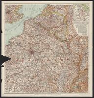
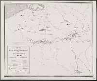
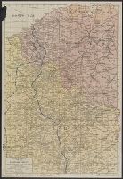
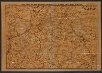
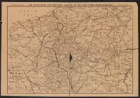
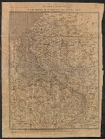
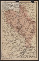
- World War, 1914-1918--Belgium--Maps5
- World War, 1914-1918--France--Maps5
- World War, 1914-1918--Europe--Maps2
- World War, 1914-1918--Luxembourg--Maps2
- World War, 1914-1918--Maps2
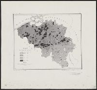
- Population density--Belgium--Maps1
- Roads--Belgium--Maps1
- Transportation--Belgium--Maps1
- Transportation--Roads--Maps1
- World War, 1914-1918--Campaigns--Europe--Maps1
Current results range from 1804 to 1942