
Search
Limit your search
- Public26
- English26
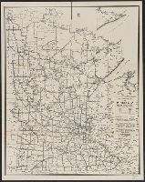
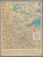
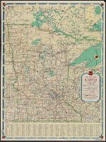
- Railroads--Minnesota--Maps5
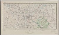
- Roads--Minnesota--Maps4
- Cities and towns--Dakota Territory--Maps1
- Discoveries in geography--Maps1
- Indian reservations--Dakota Territory--Maps1
- Indian reservations--Nebraska--Maps1
- Indians of North America--Maps1
- Military bas1
- Transportation--Minnesota--Maps1
- Transportation--Wisconsin--Maps1
Current results range from 1849 to 1946