
Search


Limit your search
- Public23
- English23
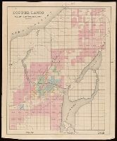
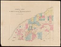
- Copper mines and mining--Michigan--Keweenaw County--Maps.4
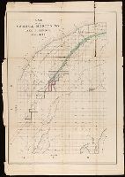
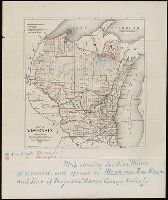
- Real property--Ontario--Thunder Bay Region--Maps.4
- Copper mines and mining2
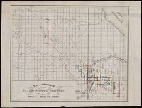
- Copper mines and mining--Michigan--Houghton County--Maps.2
- Copper mines and mining--Michigan--Keweenaw Peninsula--Maps.2
- Copper mines and mining--Michigan--Ontonagon County--Maps.2
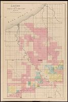
- Landowners--Michigan--Houghton County--Maps.2
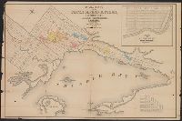
- Mines and mineral resources--Ontario--Thunder Bay Region--Maps.2
- Real property--Michigan--Houghton County--Maps.2
- Silver mines and mining--Ontario--Thunder Bay Region--Maps.2
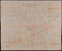
- Rickard, Richard H.,---1885--Ownership.✖[remove]23
- St. Mary's Canal Mineral Land Company--Maps.3
- Copp Clark Company2
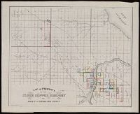
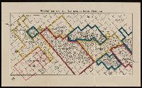
- Globe Copper Company--Maps.2
- Globe Copper Company.2
- Ontario. Department of Crown Lands.2
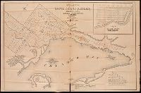
- Dawson, S. J. (Simon James), 1820-1902. Report on the Exploration of the Country between Lake Superior and the Red River Settlement.1
- Delaware Mining Company of Michigan--Maps.1
- Friend, Norman M., approximately 1815-1
- Mathews & Longyear1
Current results range from 1850 to 1913