
Search


Limit your search
- Completely digitized103,947
- Unspecified75,910
- Partially digitized14,184
- Public✖[remove]194,121
- Beinecke Rare Book and Manuscript Library105,084
- Yale Divinity Library24,120
- Lewis Walpole Library20,980
- Robert B. Haas Family Arts Library Special Collections17,322
- Manuscripts and Archives16,298
- Medical Historical Library, Cushing/Whitney Medical Library6,363
- Sterling Memorial Library3,302
- Lillian Goldman Law Library458
- Gilmore Music Library110
- Elizabethan Club84
- still image44,326
- text37,592
- cartographic14,300
- mixed material3,856
- notated music335
- three dimensional object66
- Scrapbooks17,947
- photographs (AAT)16,625
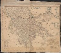
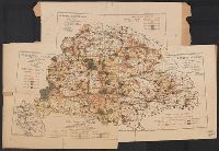
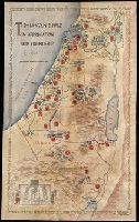
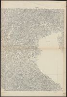
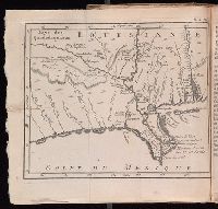
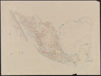
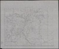
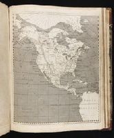
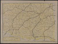
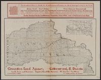
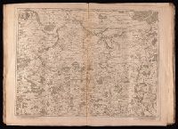
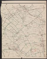
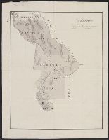
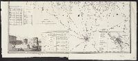
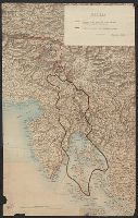
- Maps12,569
- Photographs10,473
- Photographic prints9,478
- Illustrations4,779
- Caricatures and cartoons4,076
- Manuscripts3,197
- Engravings2,693
- general views (AAT)2,661
- English88,367
- No linguistic content16,264
- French7,402
- German5,000
- Latin4,499
- Greek, Ancient (to 1453)4,169
- Italian3,620
- Russian3,460
- No linguistic content; Not applicable1,549
- Multiple languages1,487
- Kissinger, Henry, 1923-20236,595
- McClintock, Walter, 1870-19494,501
- Van Vechten, Carl, 1880-19642,975
- Plowden, David1,800
- Boswell, James, 1740-17951,686
- Marsh, Othniel Charles, 1831-18991,640
- Edwards, Jonathan, 1703-17581,534
- Hughes, Langston, 1902-19671,357
- Erdoes, Richard, 1912-20081,150
- Rowlandson, Thomas, 1756-1827, printmaker1,107
- Futurism (Art)17,901
- Futurism (Literary movement)17,897
- Arts, Modern--20th century17,884
- Authors, Italian--20th century17,884
- Missions--Periodicals5,999
- Physicians1,287
- British1,225
- Clothing & dress1,216
- Politics and government1,171
- Dogs1,035
- London17,689
- China, Asia7,339
- New York2,425
- England1,930
- London :1,561
- [London]1,528
- London?1,131
- [Detroit, Mich.]1,091
- New Haven, CT1,061
- [New York]1,032