The English pilot: describing the sea-coasts, capes, head-lands, rivers, bays, roads, havens
Image Count:
1
Description:
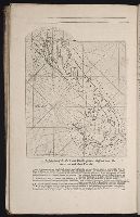
Most maps numbered in pencil on verso, some on recto.
Subject (Geographic):
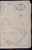
BermudaIslands --Maps --Earlyworksto
Subject (Topic):
Navigation --Early works to 1800, Pilot guides --Atlantic Coast (U.S.) --Early works to 1800, and Pilot guides --Caribbean Area --Early works to 1800
Collection Created:
London : Printed for John Thornton, at the sign of the England, Scotland, and Ireland, in the Minories, and Richard Mount, at the Postern on Tower-Hill, 1698London : Printed for John Thornton, at the sign of the England, Scotland, and Ireland, in the Minories, and Richard Mount, at the Postern on Tower-Hill, 1698
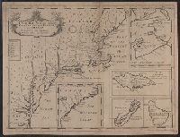
Appears in Edward Wells's A new sett of maps ..., various editions 1700-1738., Inset maps: [1.] Carolina -- [2.] New Scotland -- [3.] I. of Jamaica -- [4.] Bermudaz, or Sommers Isles -- [5.] I. of Barbados., and Sheet measures 37.5 x 49 cm.
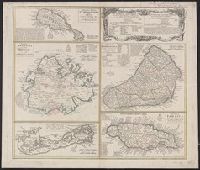
Cross Collection no. 253., Includes explanatory notes and index., Ms. notes in upper right corner., Relief shown pictorially., Scales in millaria Anglica communia and/or millaria Anglica statuta., Sheet title in Latin and German. Individual map titles and text in German. Maps in English and German., and Three maps (Antigua, Barbados, Jamaica). Mounted on linen.