Great Britain. War Office. General Staff. Geographical Section
Published / Created:
[1918?]
Call Number:
36 K54 1918
Container / Volume:
BRBL_00124
Image Count:
1
Resource Type:
Maps, Atlases & Globes
Alternative Title:
Helgoland und Düne, Sketch map showing southern portion of Jutland Peninsula and Heligoland., and The Kaiser Wilhelm Canal.
Description:
"Dec. 1918"--In lower right corner of margin., The Kaiser Wilhelm Canal -- Helgoland und Düne -- Sketch map showing southern portion of Jutland Peninsula & Heligoland., and Title from top margin.
Publisher:
War Office,
Subject (Geographic):
Helgoland (Germany)--Maps, Kiel Canal (Germany)--Maps, and Schleswig-Holstein (Germany)--Maps
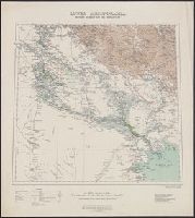
Great Britain. War Office. General Staff. Geographical Section
Published / Created:
1945
Call Number:
5855 1945
Container / Volume:
BRBL_00315
Image Count:
1
Resource Type:
Maps, Atlases & Globes
Alternative Title:
G.S.G.S. ; no. 4474, GSGS (Series) ; no. 4474., and Kota Bharu
Description:
"Copied from a map prepared by Survey Department F.M.S., dated 1937. Revised, and roads reclassified by I.S.T.D., 1945. Photolithographed by the War Office, 1945." and Stamped "AMS 1 324197".
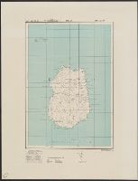
Great Britain. War Office. General Staff. Geographical Section
Published / Created:
1943
Call Number:
3969 M52 1943
Container / Volume:
BRBL_00194
Image Count:
1
Resource Type:
Maps, Atlases & Globes
Alternative Title:
Great Britain. War Office. General Staff. Geographical Section. G.S.G.S. ; 4134., GSGS (Series) ; 4134., and Its [G.S.G.S.] ; 4134
Description:
"Contour interval 50 metres.", "N3945-E345/25x40.", Five classes of roads or paths, three classes of railroads, and areas of woods and intensive culivation are shown., In upper margin: Balearic islands 1:100,000 ..., and Insets: Mahon [with index]--Index to adjoi
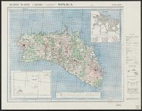
Great Britain. War Office. General Staff. Geographical Section
Published / Created:
1942
Call Number:
67 M72 1942
Container / Volume:
BRBL_00348
Image Count:
1
Resource Type:
Maps, Atlases & Globes
Alternative Title:
Geographical Section, General Staff ; no.4241, GSGS (Series) ; 4241., and Morocco 10 000.
Description:
"Contours at 2.5 metre interval.", "Copied from a French map.", "Legend" gives key to points of interest., In upper margin: Morocco 1:10,000 ..., and Military grid.
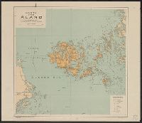
Great Britain. War Office. General Staff. Geographical Section United States. Army Map Service
Published / Created:
1942
Call Number:
352gme M94 1942A
Container / Volume:
BRBL_00111
Image Count:
1
Resource Type:
Maps, Atlases & Globes
Alternative Title:
Geographical Section, General Staff ; no. 4224 and GSGS (Series) ; no. 4224.
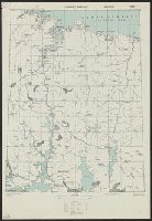
Description:
Five classes of roads and paths are also indicated., In lower left corner of margin: War Office 1941., and In lower right corner of margin: Reproduced from a Finnish map.