Search
You Searched For
Search Results
- Creator:
- Great Britain. Army. Middle East Forces
- Published / Created:
- 1943
- Call Number:
- 69 T73 1943
- Container / Volume:
- BRBL_00352
- Image Count:
- 1
- Resource Type:
- Maps, Atlases & Globes
- Found in:
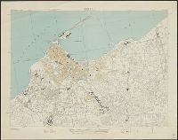
- Beinecke Rare Book and Manuscript Library > Tripoli : city plan / prepared under the direction of the Chief of Engineers, U.S. Army.
- Creator:
- Great Britain. War Office. General Staff. Geographical Section
- Published / Created:
- 1945
- Call Number:
- 56 T83 1945
- Container / Volume:
- BRBL_00297
- Image Count:
- 1
- Resource Type:
- Maps, Atlases & Globes
- Found in:
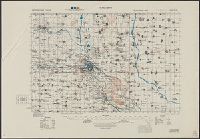
- Beinecke Rare Book and Manuscript Library > Tungchow [cartographic material] / Geographical Section, General Staff.
- Creator:
- Great Britain. War Office. General Staff. Geographical Section
- Published / Created:
- 1943
- Call Number:
- 501 1943
- Container / Volume:
- BRBL_00276
- Image Count:
- 1
- Resource Type:
- Maps, Atlases & Globes
- Found in:
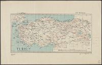
- Beinecke Rare Book and Manuscript Library > Turkey [cartographic material].
- Creator:
- Great Britain. Army. Middle East Forces
- Published / Created:
- 1943
- Call Number:
- 352 1943A
- Container / Volume:
- BRBL_00106
- Image Count:
- 1
- Resource Type:
- Maps, Atlases & Globes
- Found in:
- Beinecke Rare Book and Manuscript Library > U.S.S.R. and adjacent countries / Compiled and ... revised ... by 512 Fd. survey coy., R.E. ...
- Creator:
- National Geographic Society (U.S.). Cartographic Section
- Published / Created:
- c1944.
- Call Number:
- 35 1944
- Container / Volume:
- BRBL_00101
- Image Count:
- 1
- Resource Type:
- Maps, Atlases & Globes
- Found in:
- Beinecke Rare Book and Manuscript Library > Union of Soviet Socialist Republics International boundaries according to Russian treaties and claims as of October 1, 1944 ; Boundaries of January 1, 1938, are shown in red Compiled and drawn in the Cartographic Section of the National Geographic Society
- Published / Created:
- 1909
- Call Number:
- 75cfe 1909
- Container / Volume:
- BRBL_00409
- Image Count:
- 1
- Resource Type:
- Maps, Atlases & Globes
- Found in:
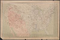
- Beinecke Rare Book and Manuscript Library > United States, Contour Map.
- Creator:
- United States. Army Map Service
- Published / Created:
- 1943
- Call Number:
- 493 V24 1943
- Container / Volume:
- BRBL_00270
- Image Count:
- 1
- Resource Type:
- Maps, Atlases & Globes
- Found in:
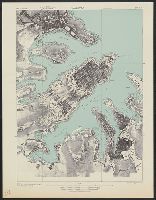
- Beinecke Rare Book and Manuscript Library > Valletta city plan [cartographic material] / prepared under the direction of the Chief of Engineers, U.S. Army 1943.
- Creator:
- United States. Army Map Service
- Published / Created:
- 1943
- Call Number:
- 7391 1943
- Container / Volume:
- BRBL_00394
- Image Count:
- 2
- Resource Type:
- Maps, Atlases & Globes
- Found in:
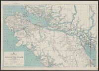
- Beinecke Rare Book and Manuscript Library > Vancouver Island / Army Map Service.
- Creator:
- Great Britain. Inter-service Topographical Dept
- Published / Created:
- 1943
- Call Number:
- 40 V715 1943
- Image Count:
- 1
- Resource Type:
- Maps, Atlases & Globes
- Found in:
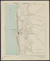
- Beinecke Rare Book and Manuscript Library > Villa San Giovanni [cartographic material] / compiled and drawn by Inter-Service Topographical Department ; produced under the Superintendence of Vice-Admiral John Edgell, hydrographer.